Charting a River: Rio Grande
Archival Inkjet Prints
2017 - 2019
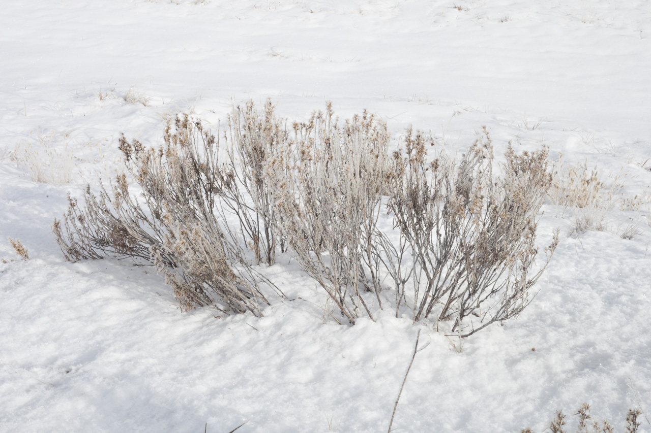
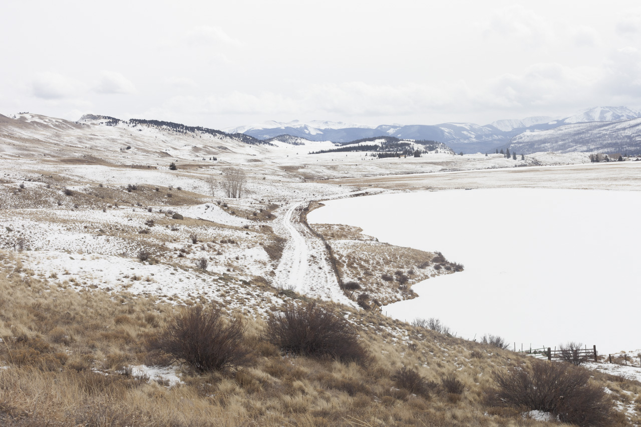
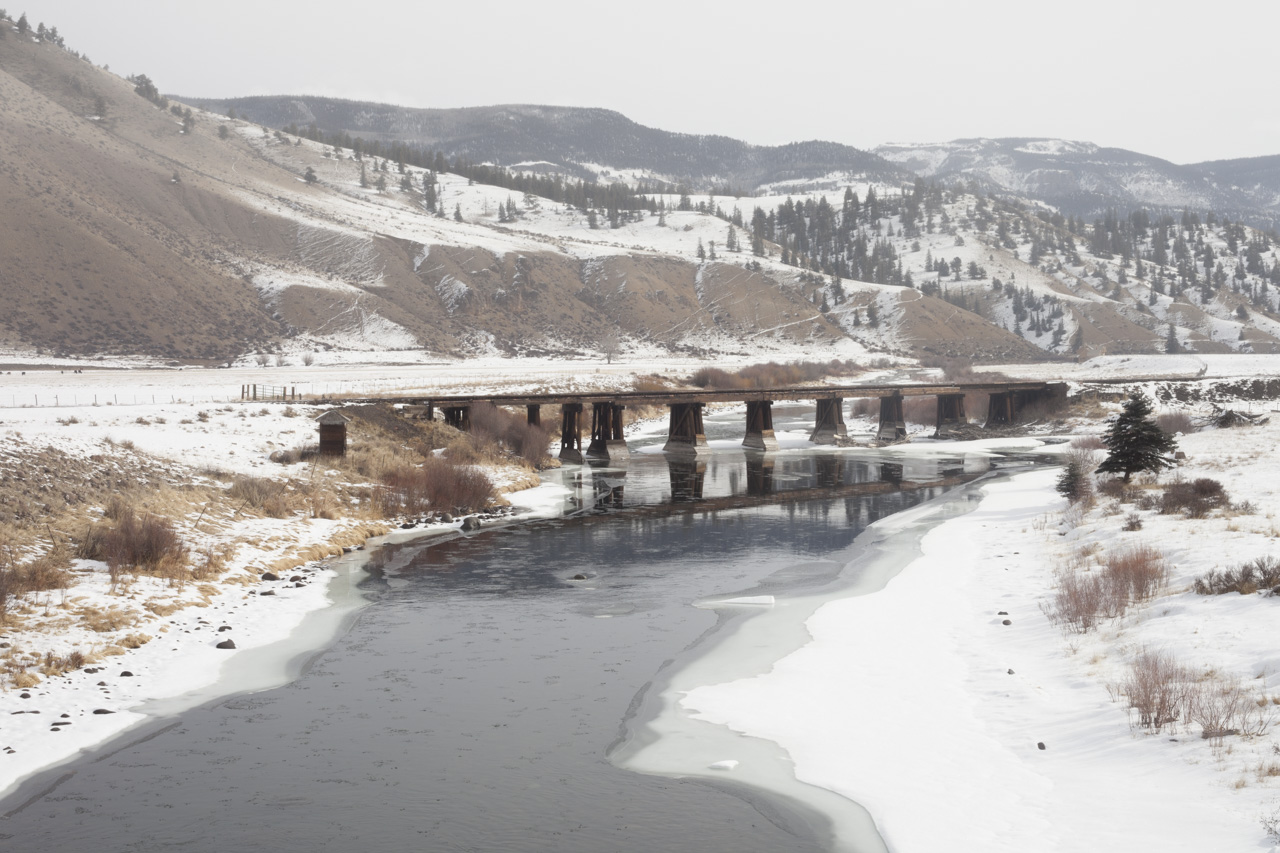
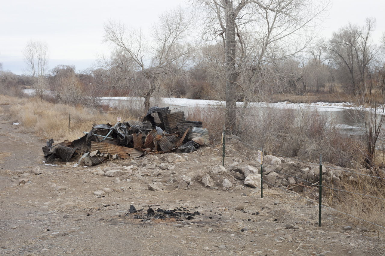
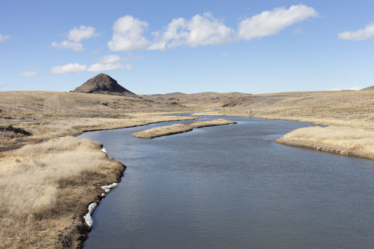
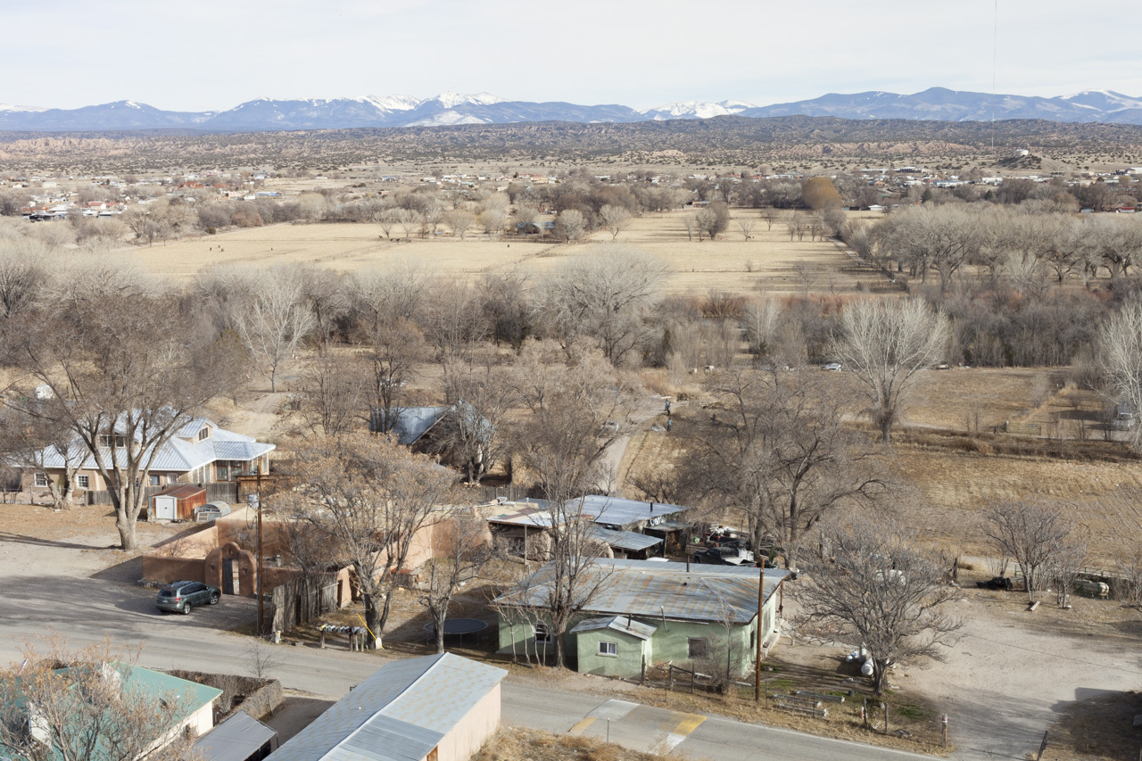
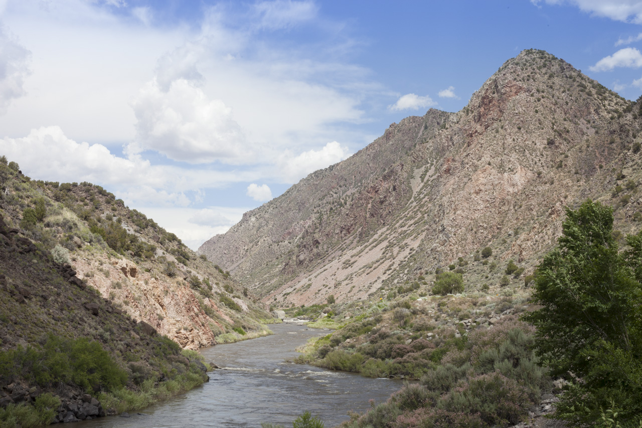
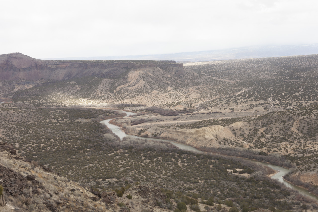
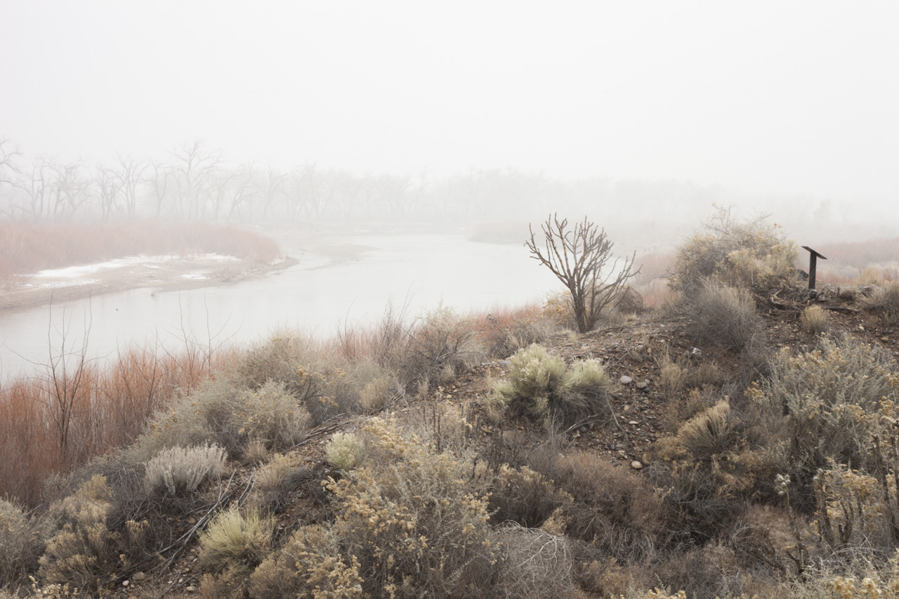
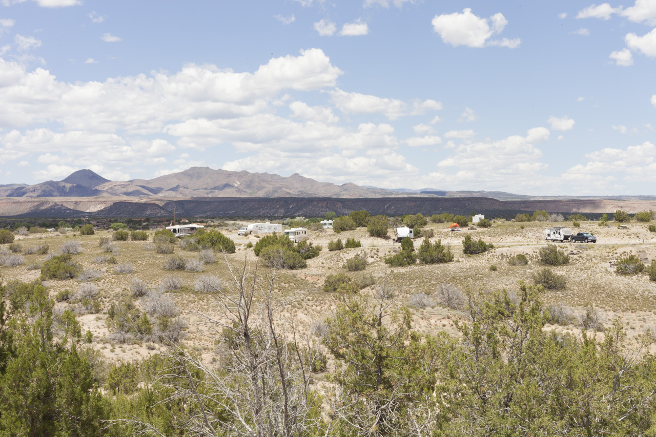
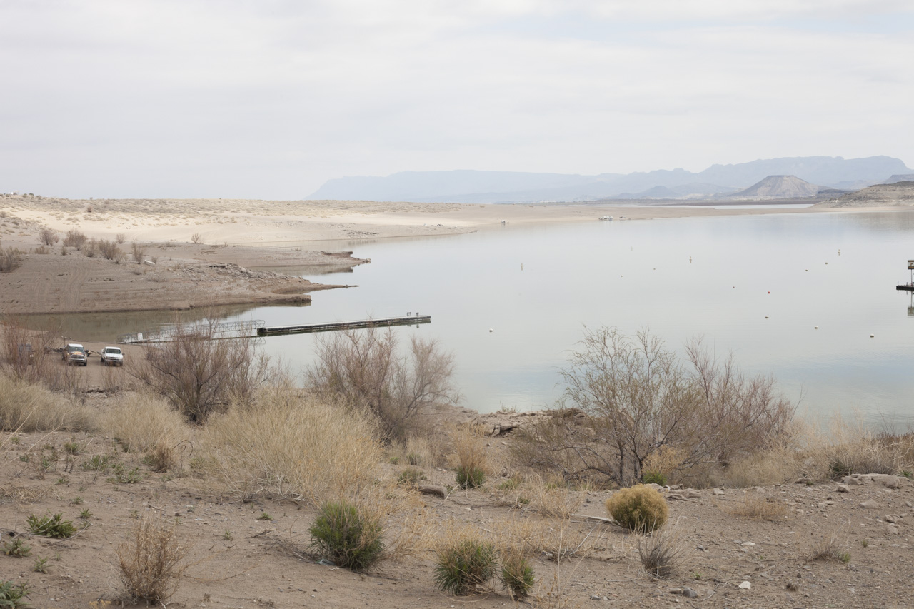
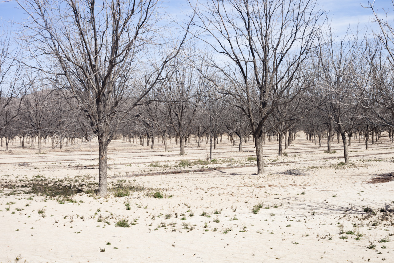
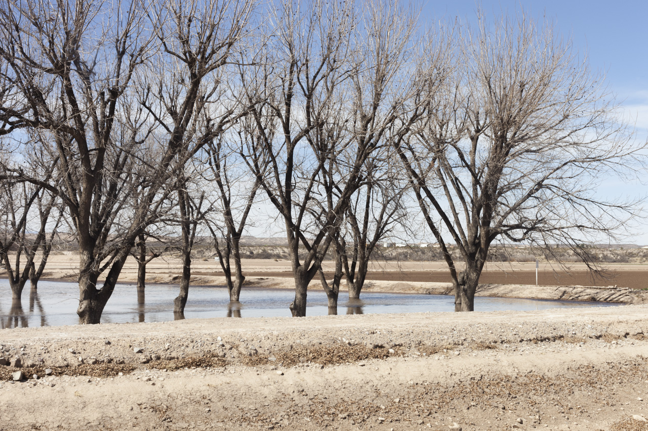
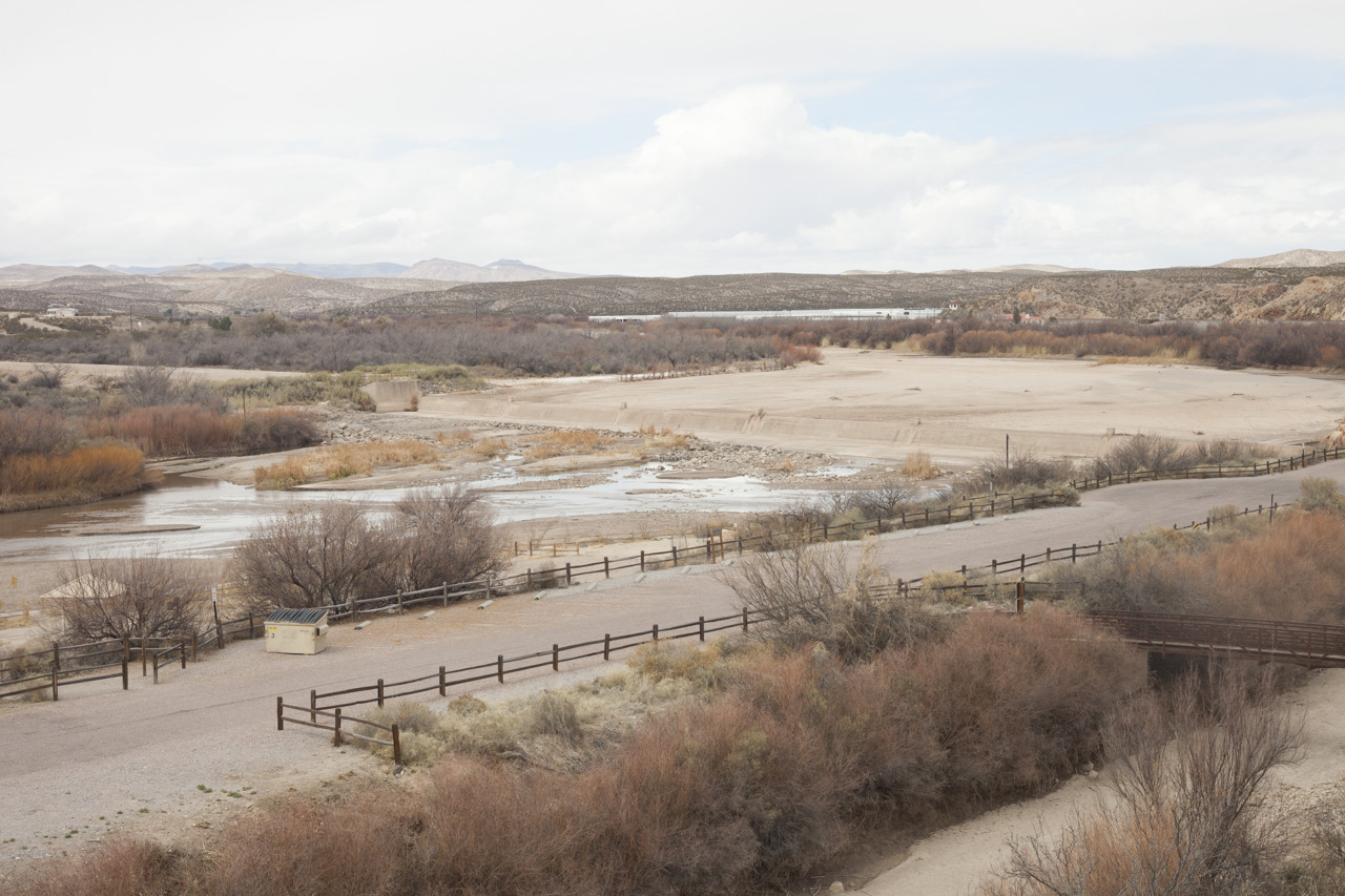
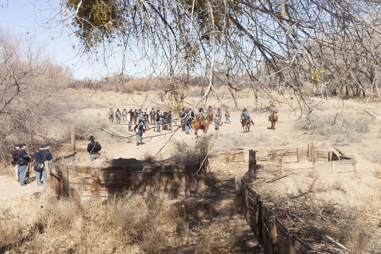
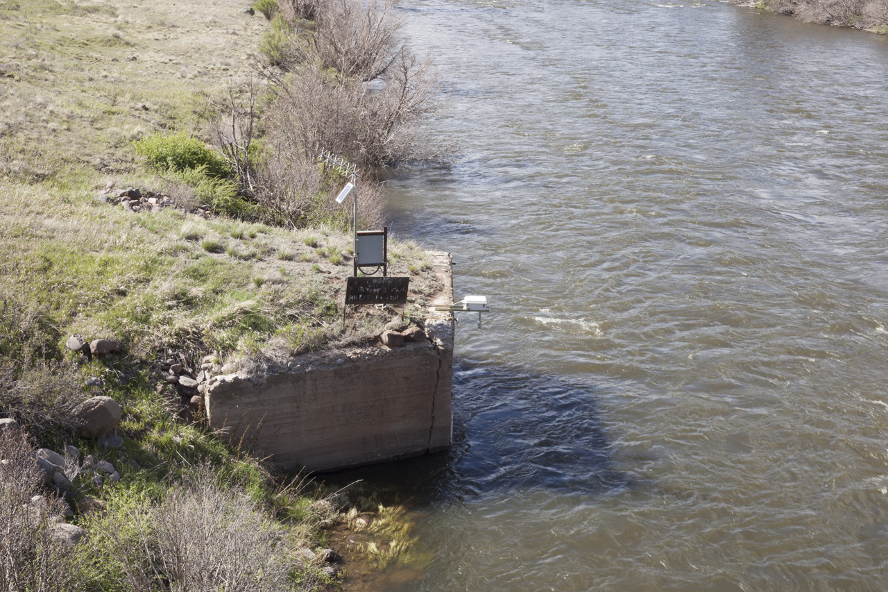
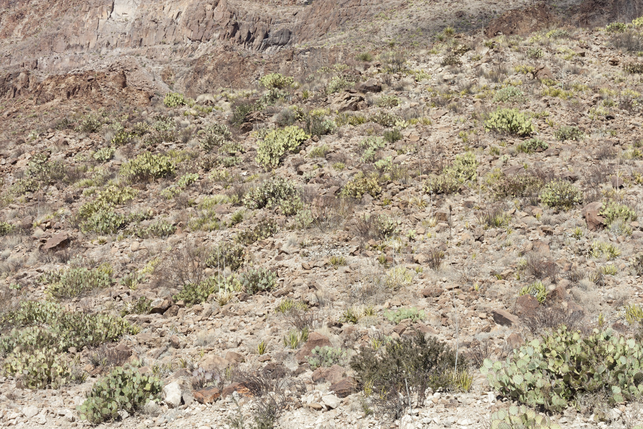
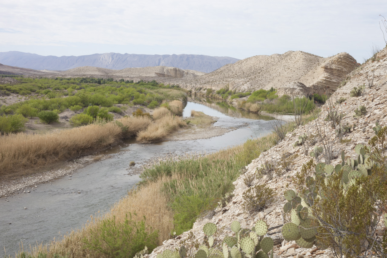
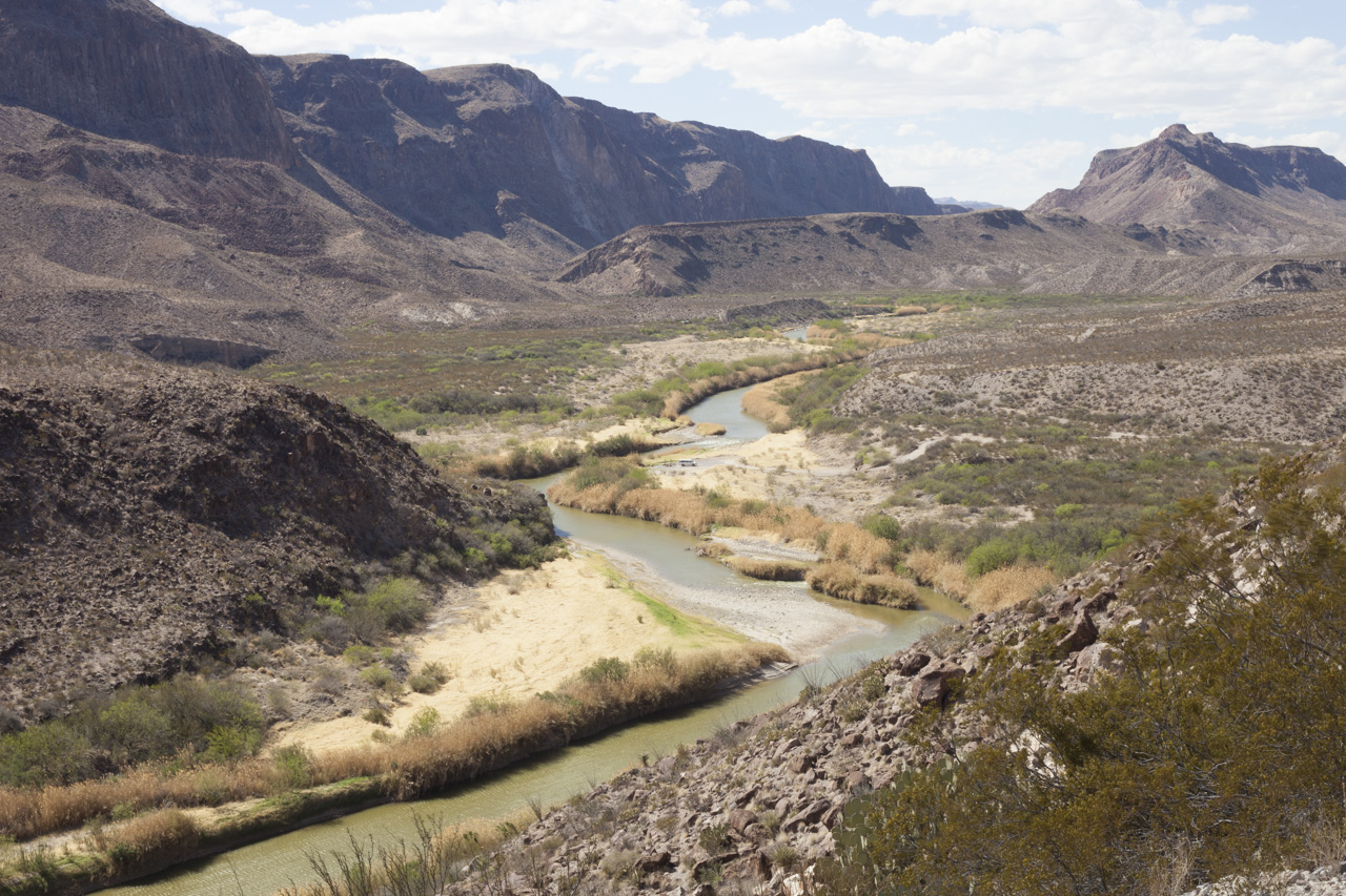
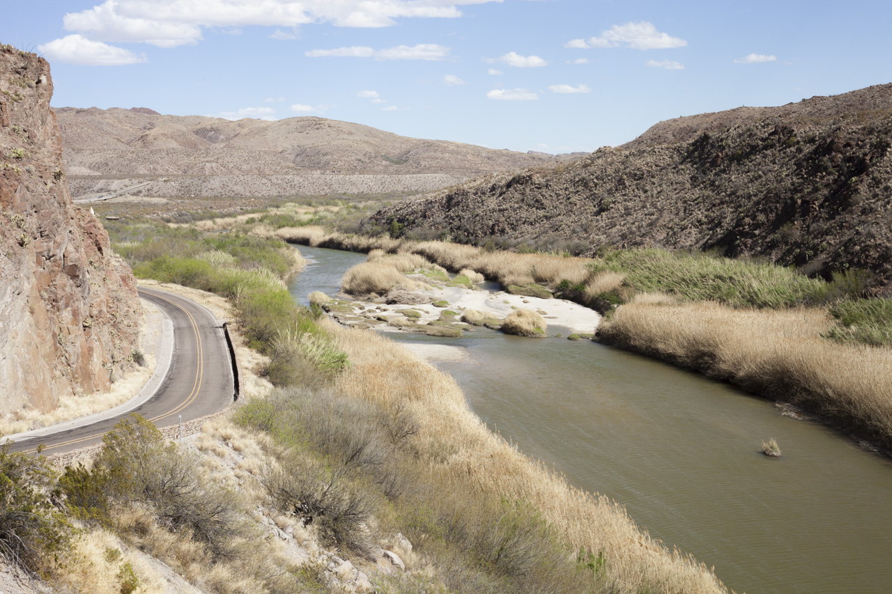
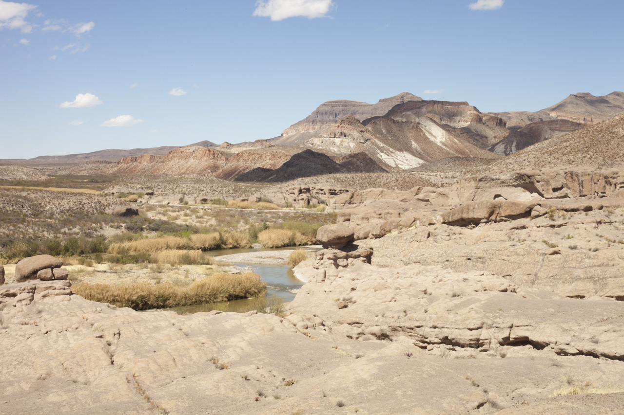
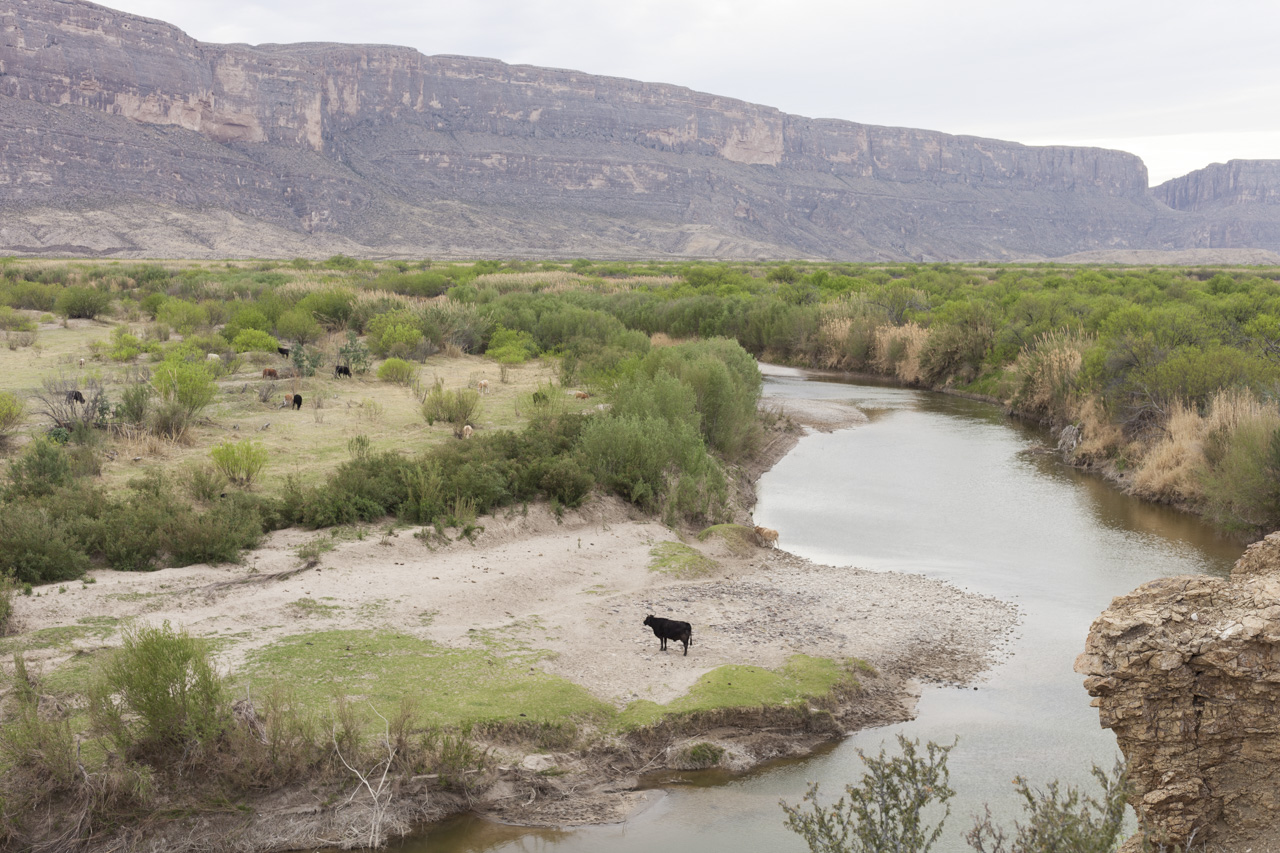
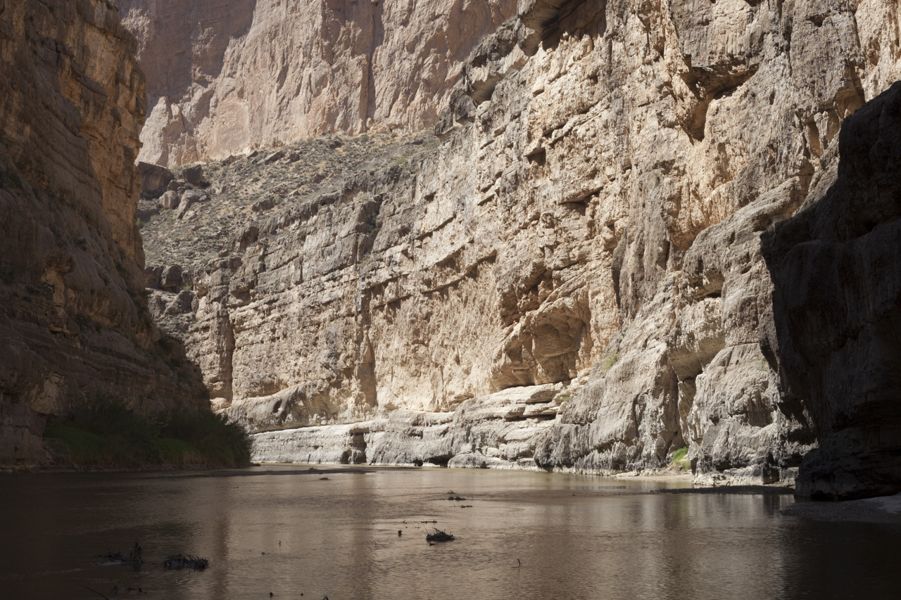
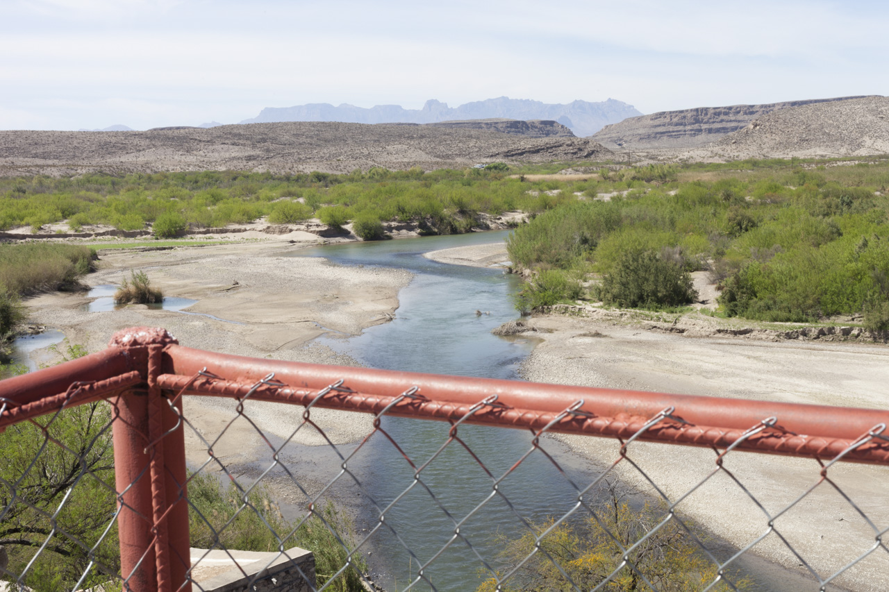
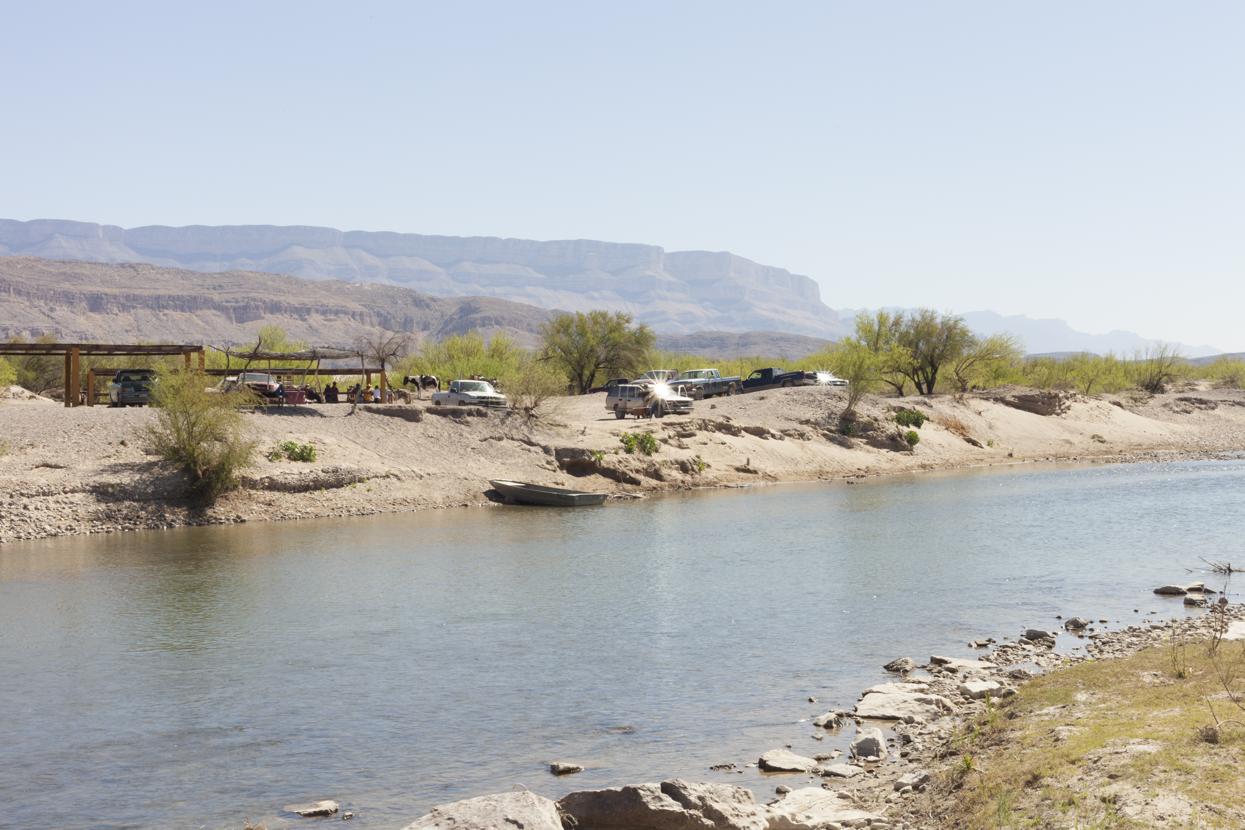
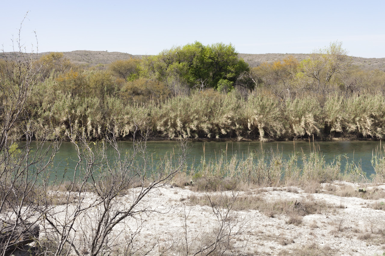
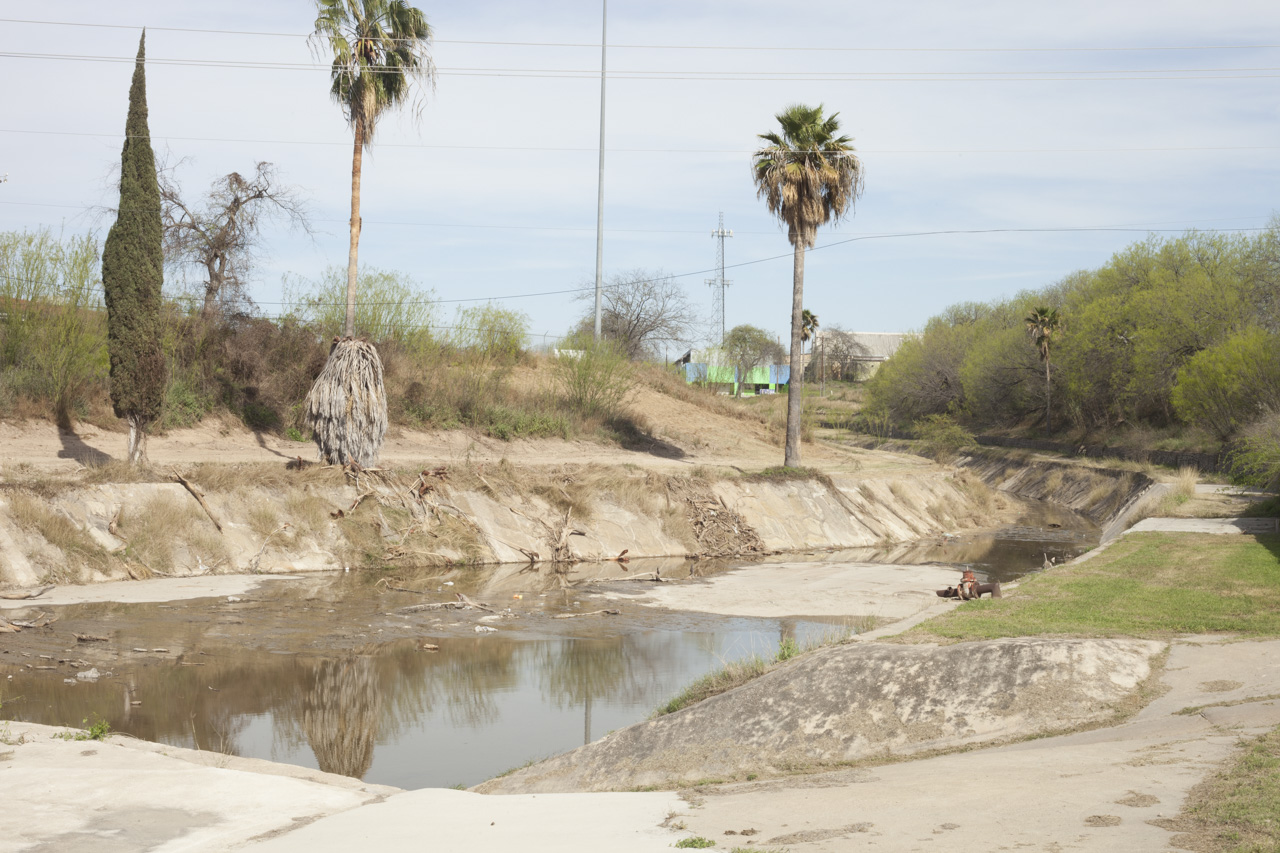
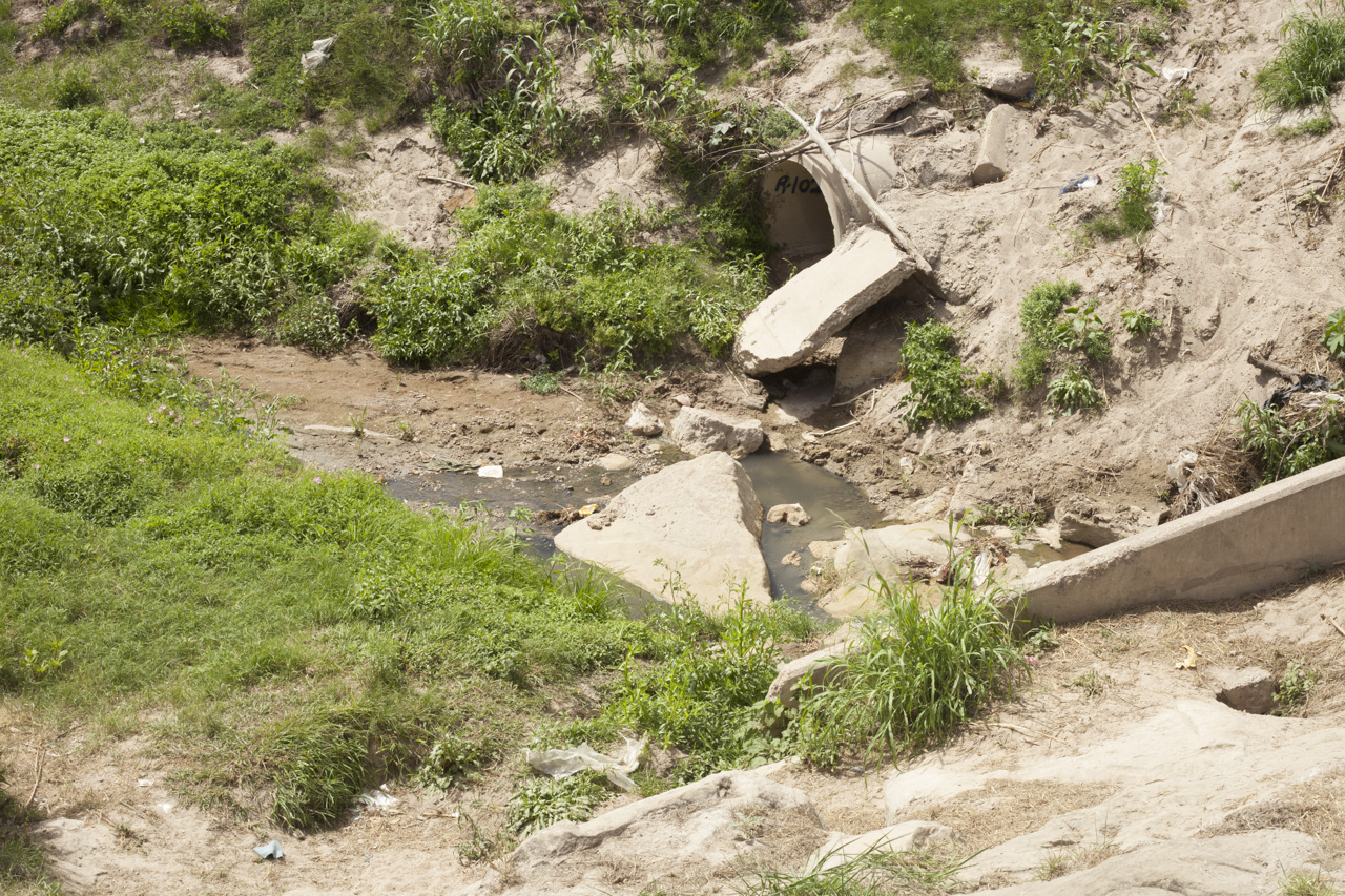
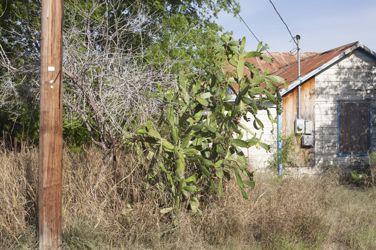
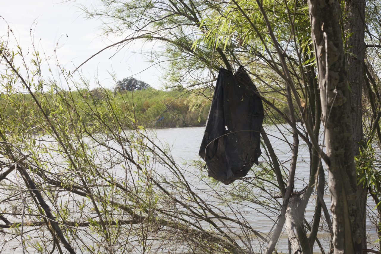
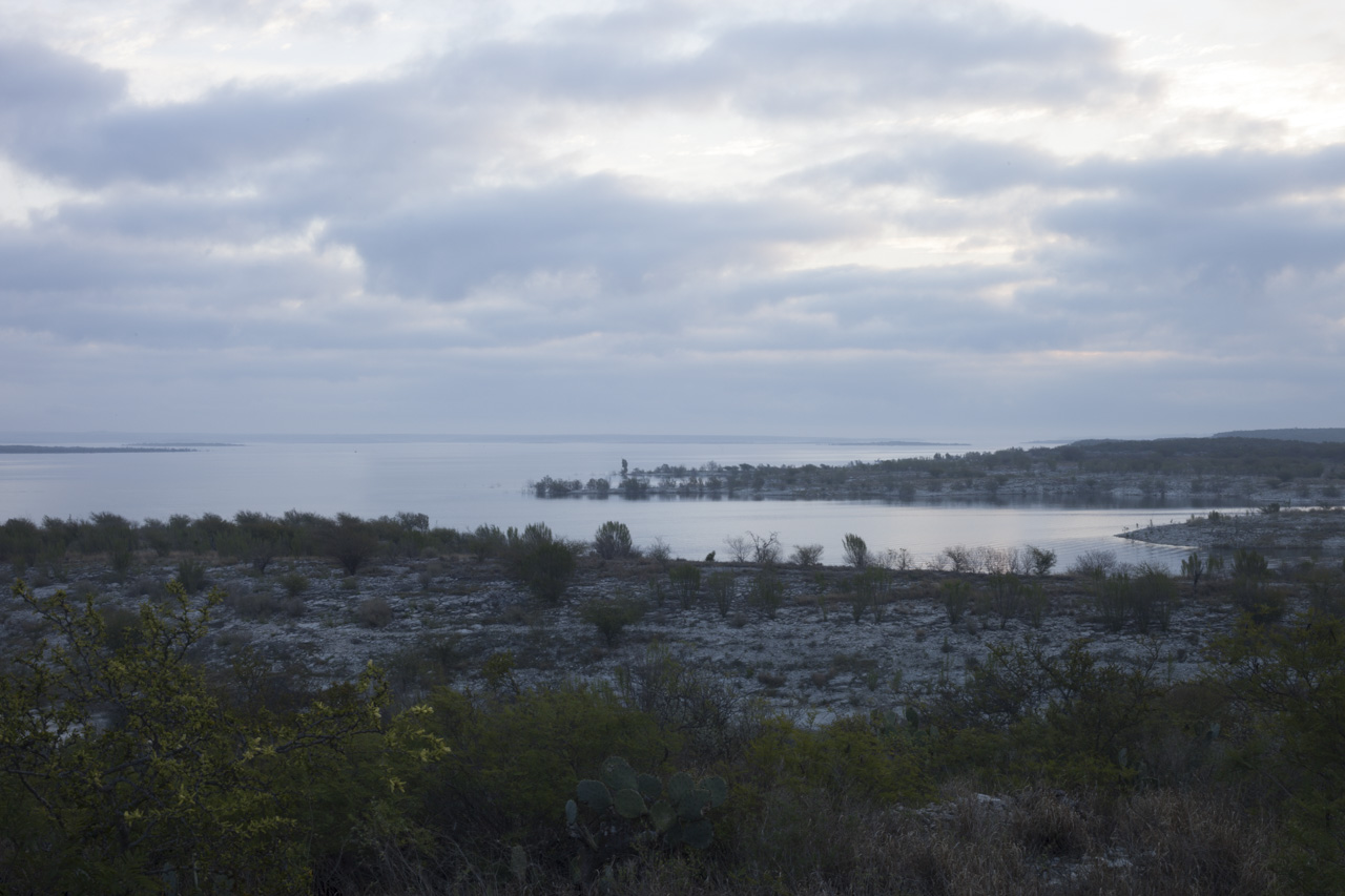
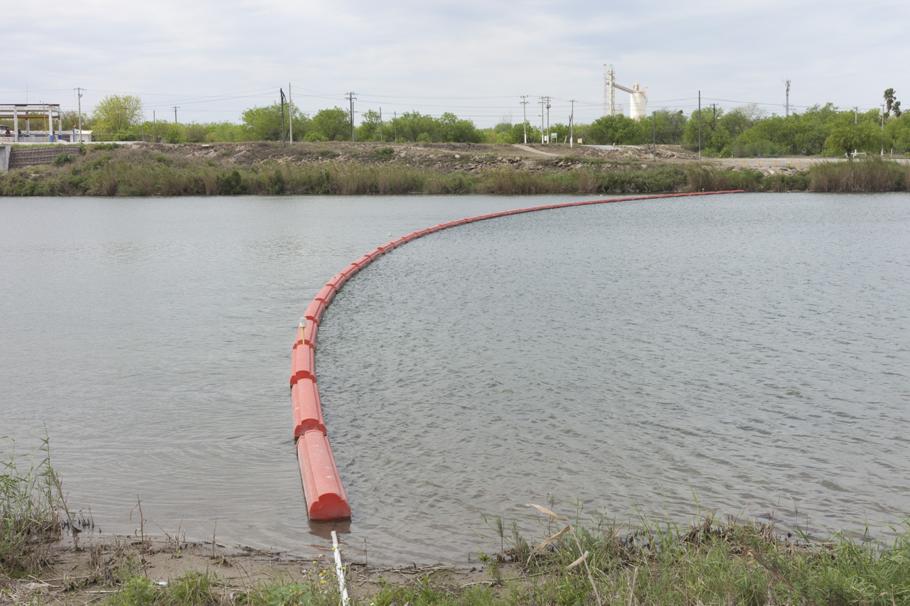
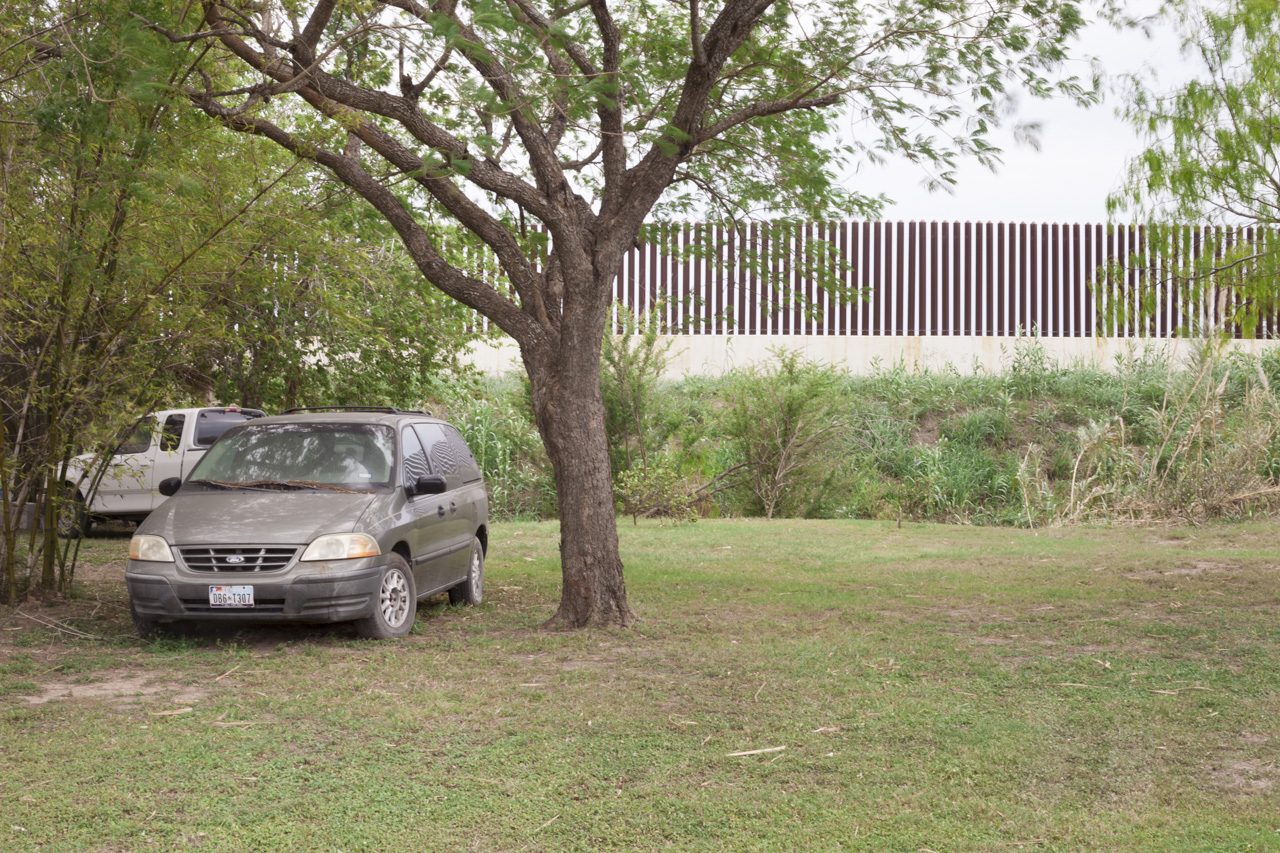
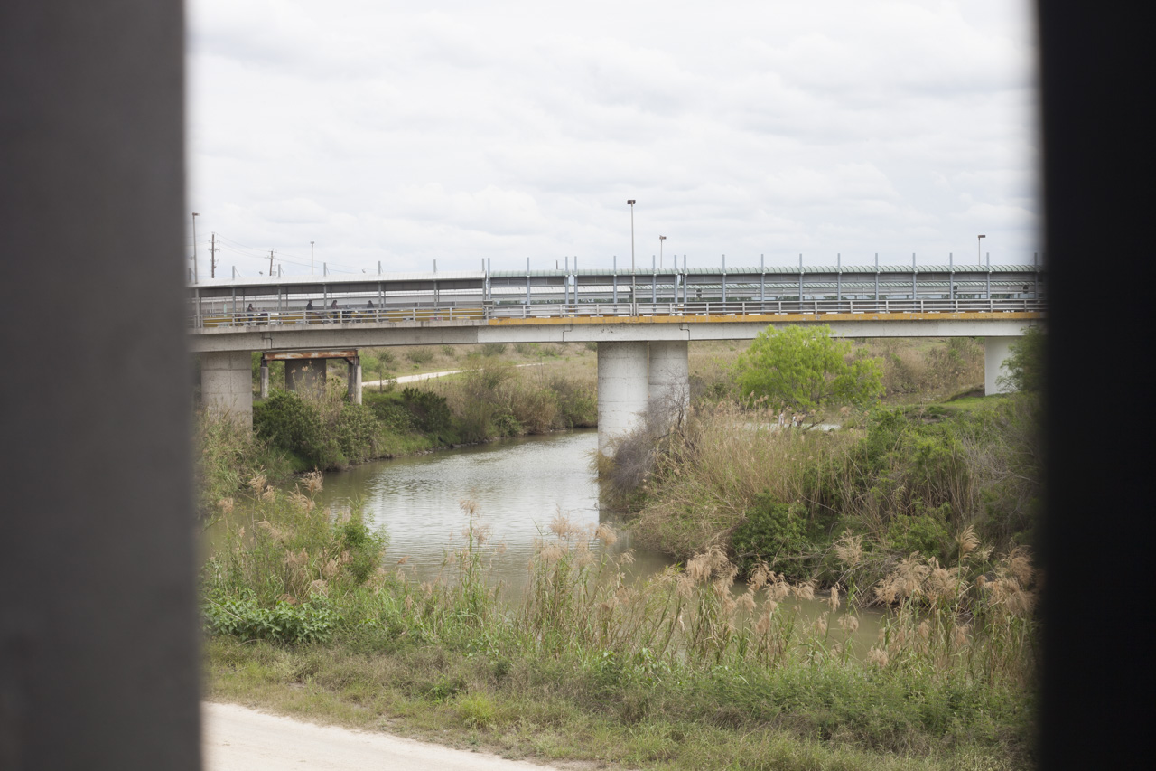
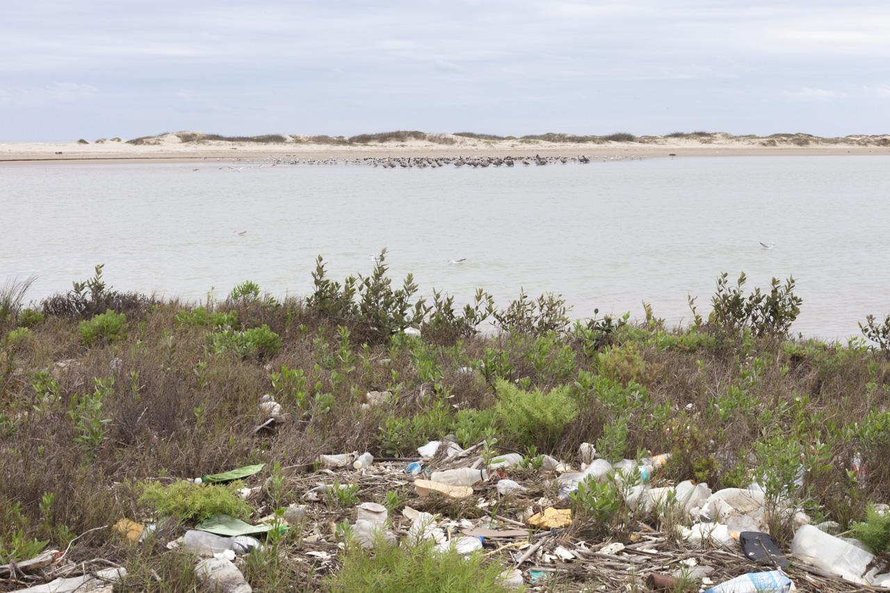
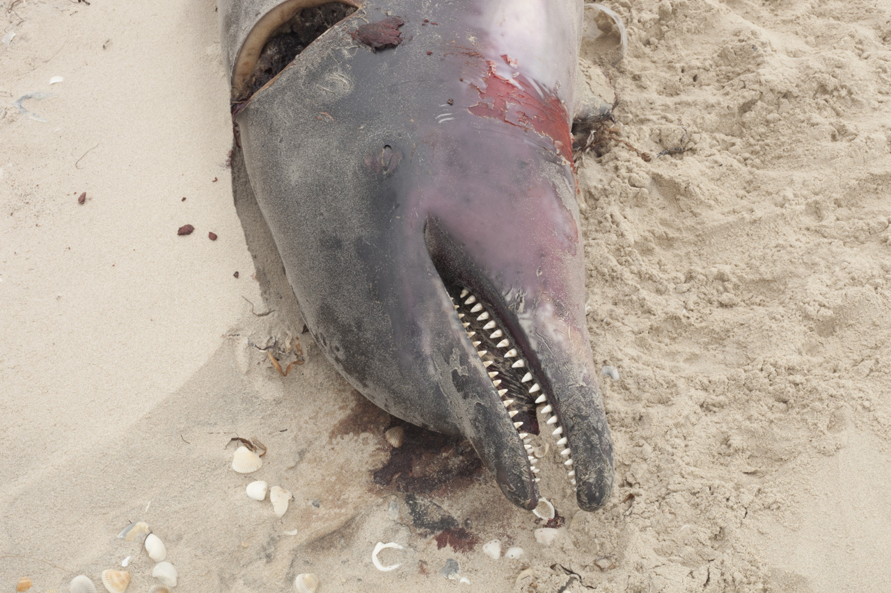
Photos taken traveling along the course of the Rio Grande River by automobile and boat from 2017 - 2019. Photographs begin at headwaters near Creede, Colorado, and move geographically along the river’s course through New Mexico into Texas, where the river meets the Gulf of Mexico in Boca Chica, Texas.
______________________________________
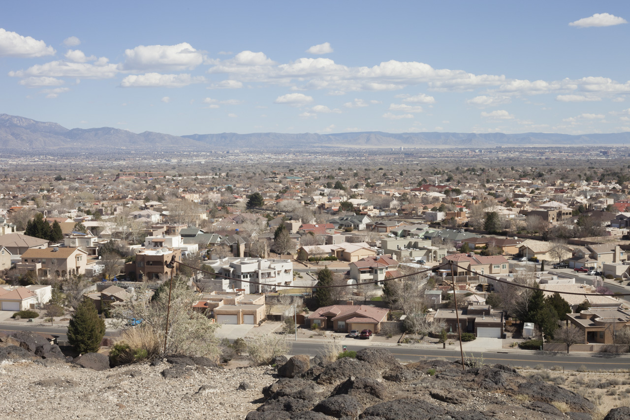
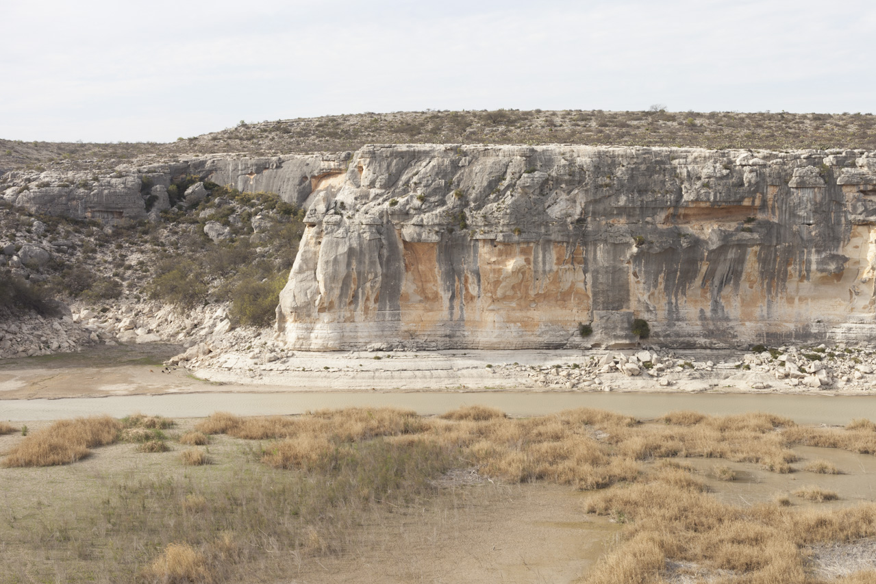
The Rio Grande River is the United States’ 5th largest river; a principal water source in the American southwest. The area within the entire watershed of the Rio Grande is some 336,000 square miles, beginning in the San Juan Mountains of southwestern Colorado ending in the Gulf of Mexico. The river flows for 175 miles through Colorado, 470 miles across New Mexico, and about 900 miles through Texas where it becomes the geographic border between the US and Mexico.
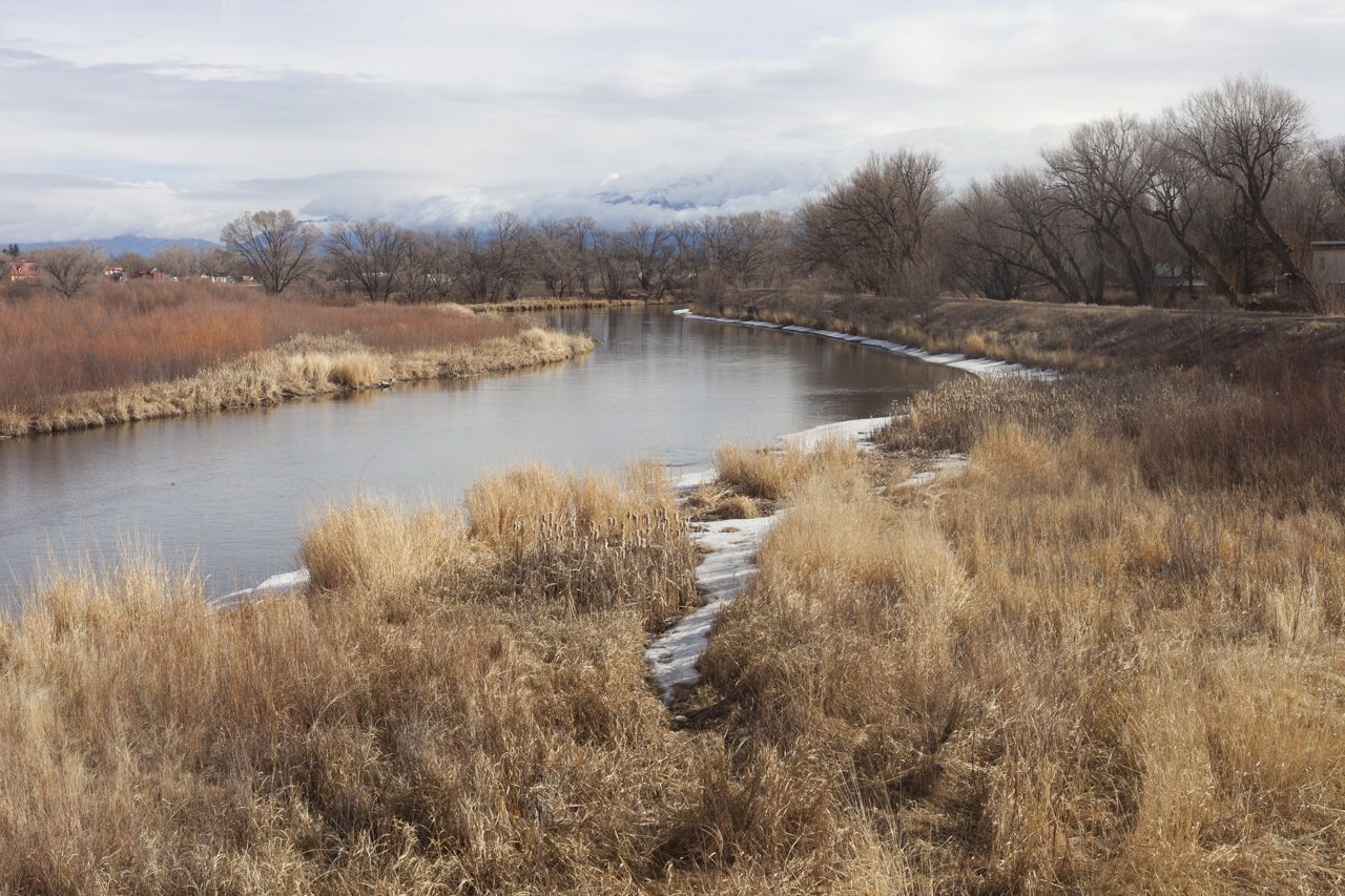
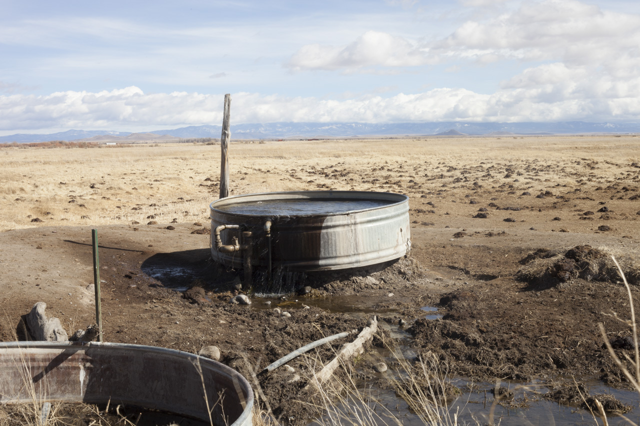
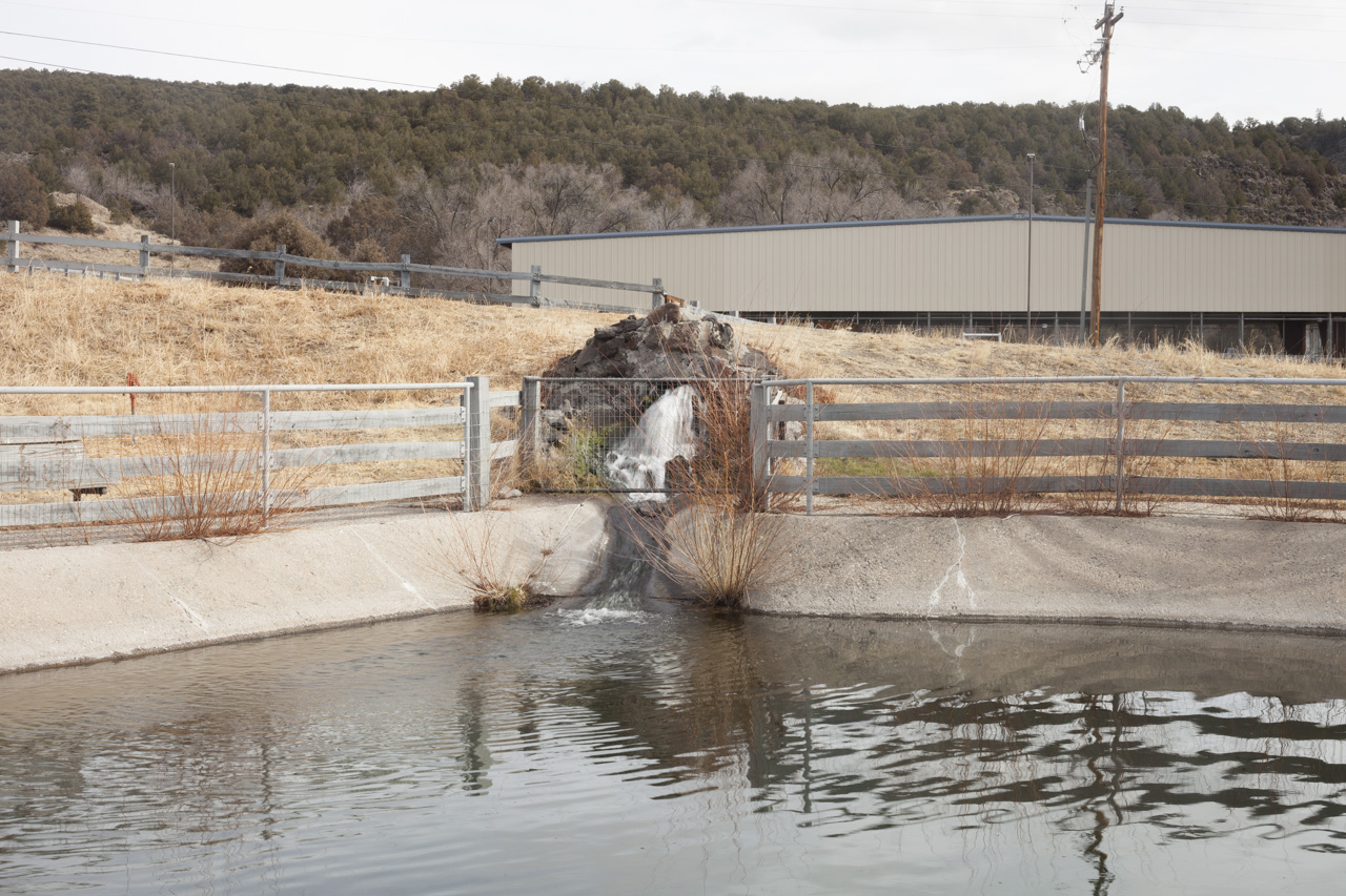
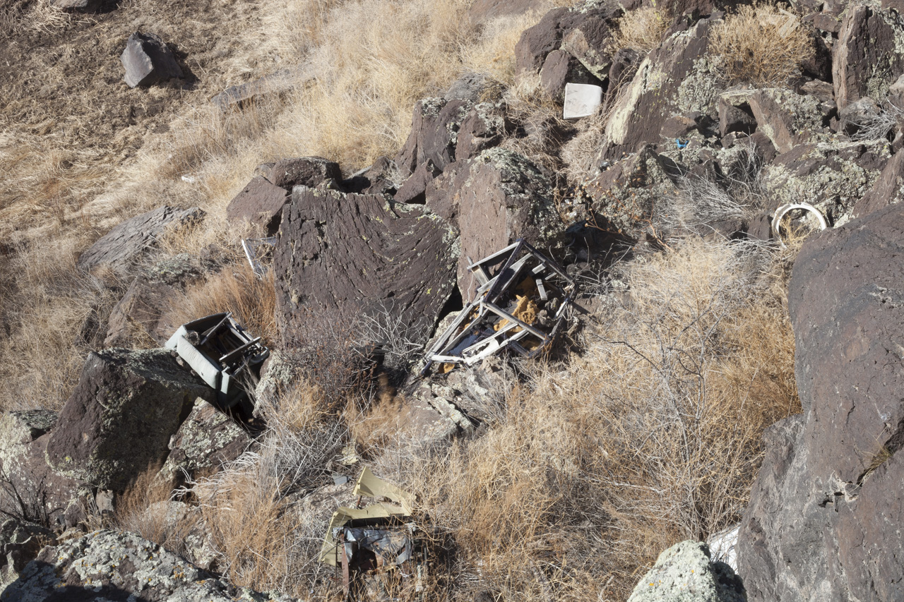
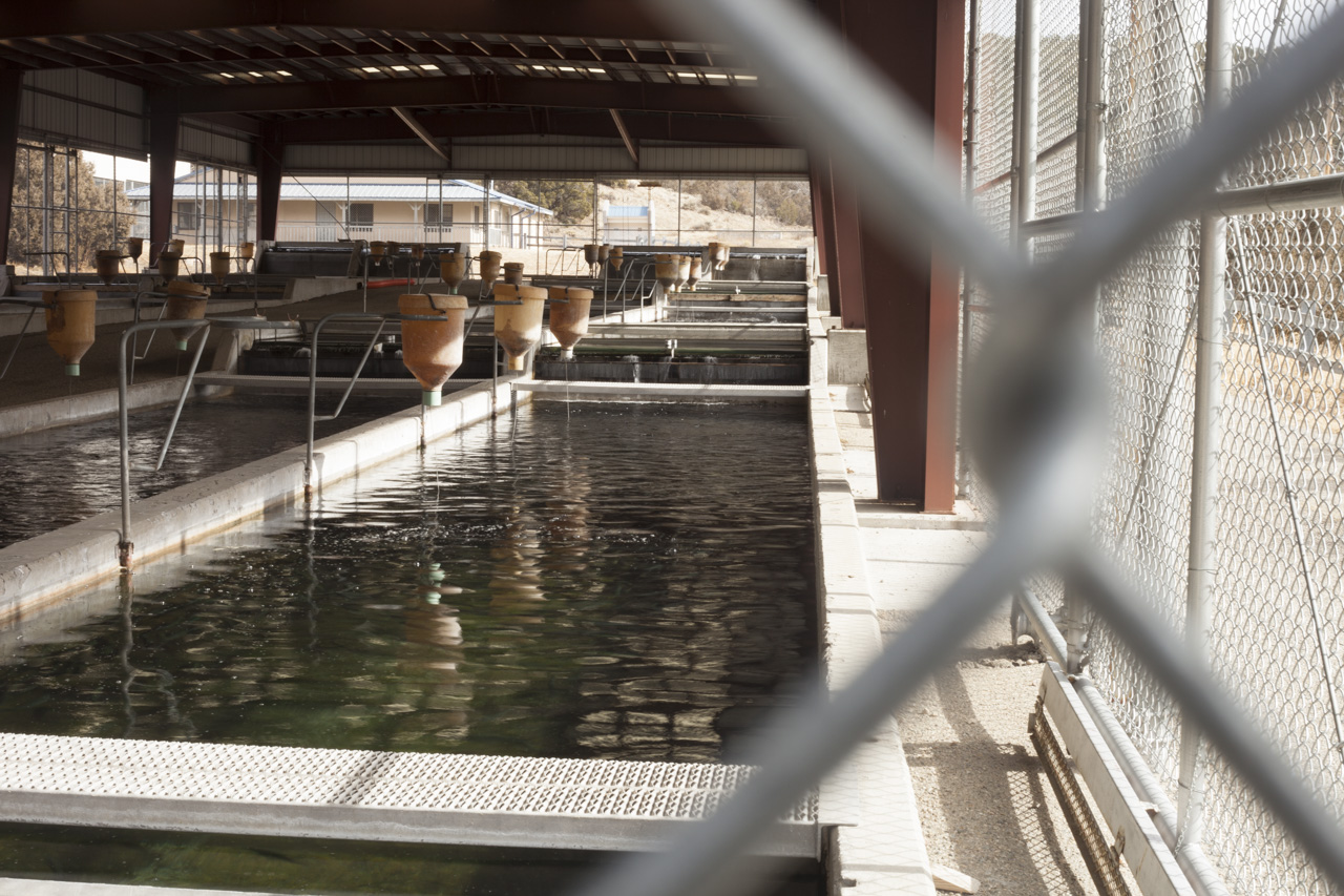
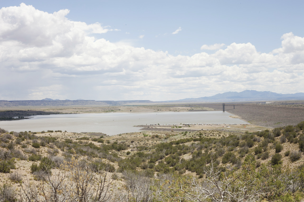
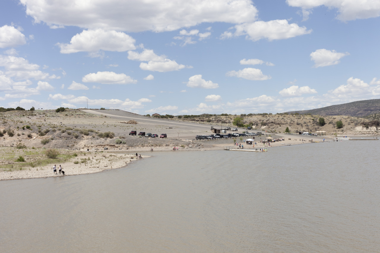
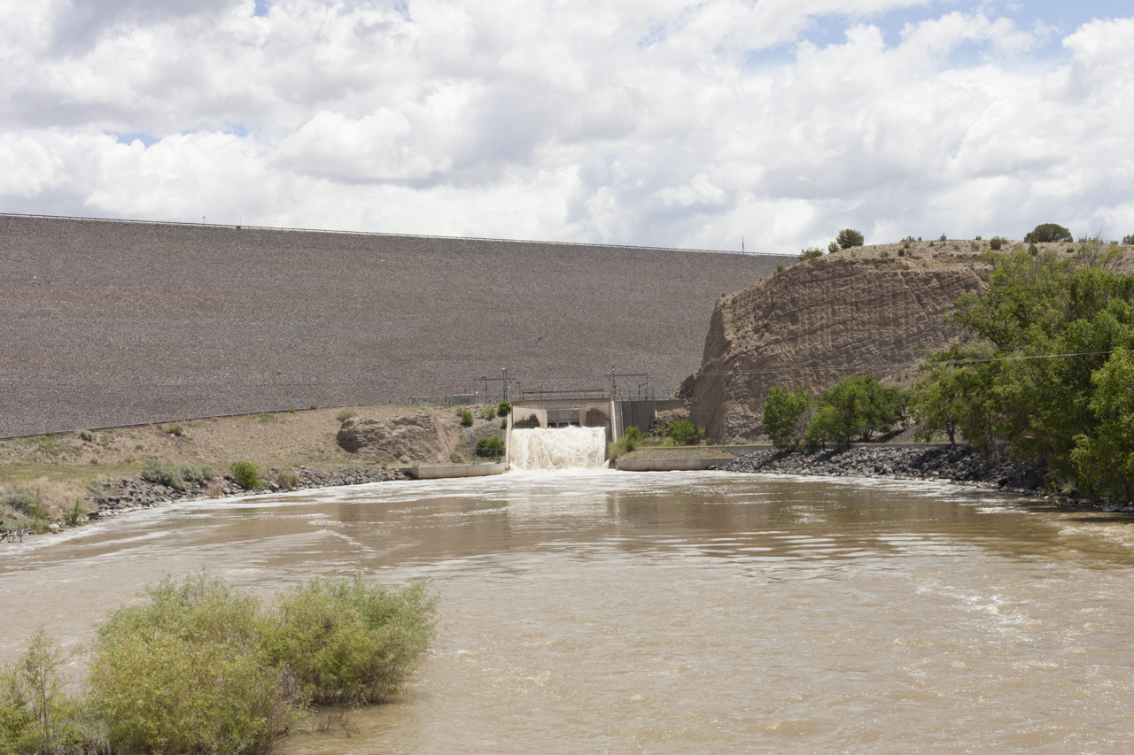
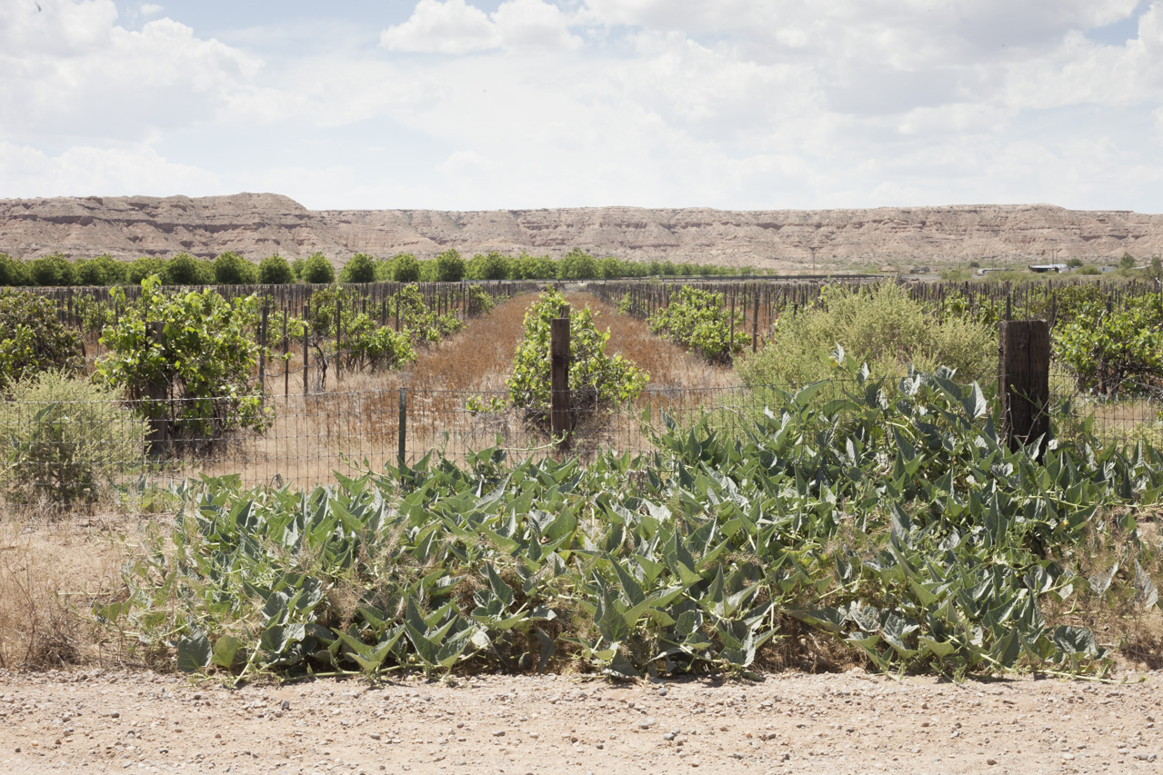
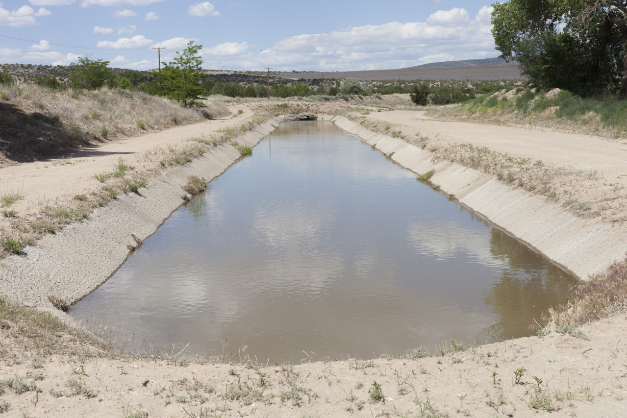
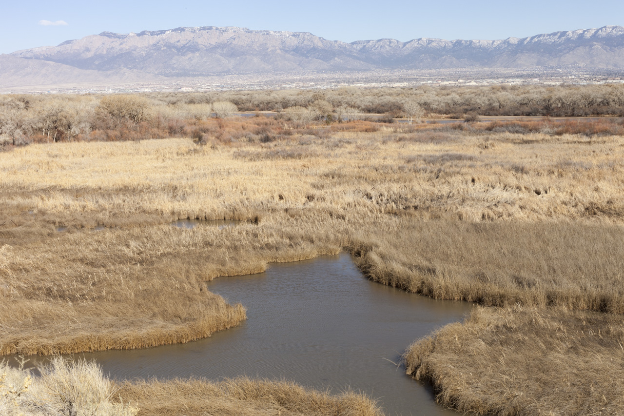
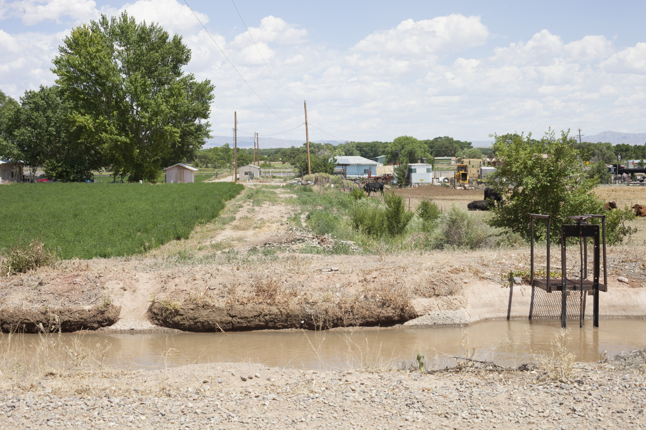
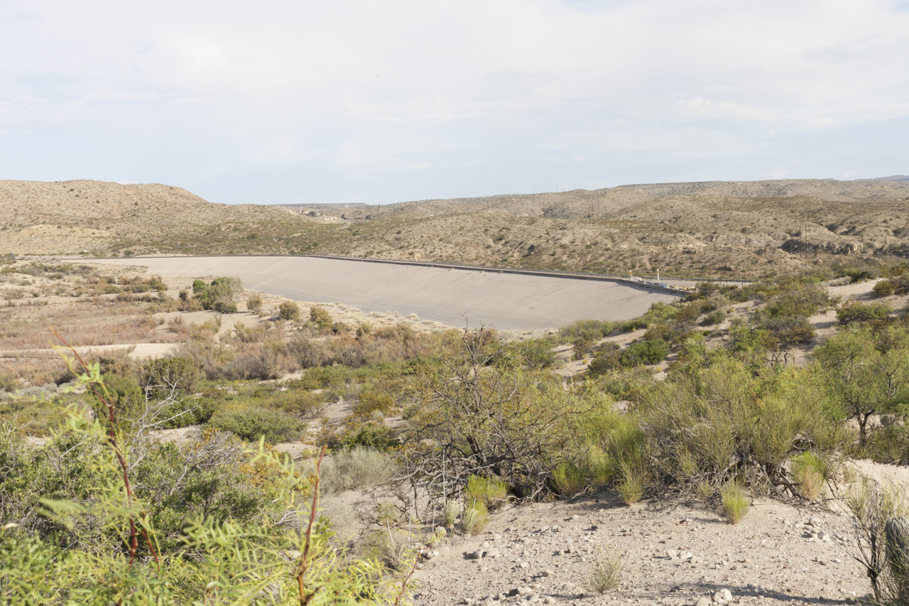
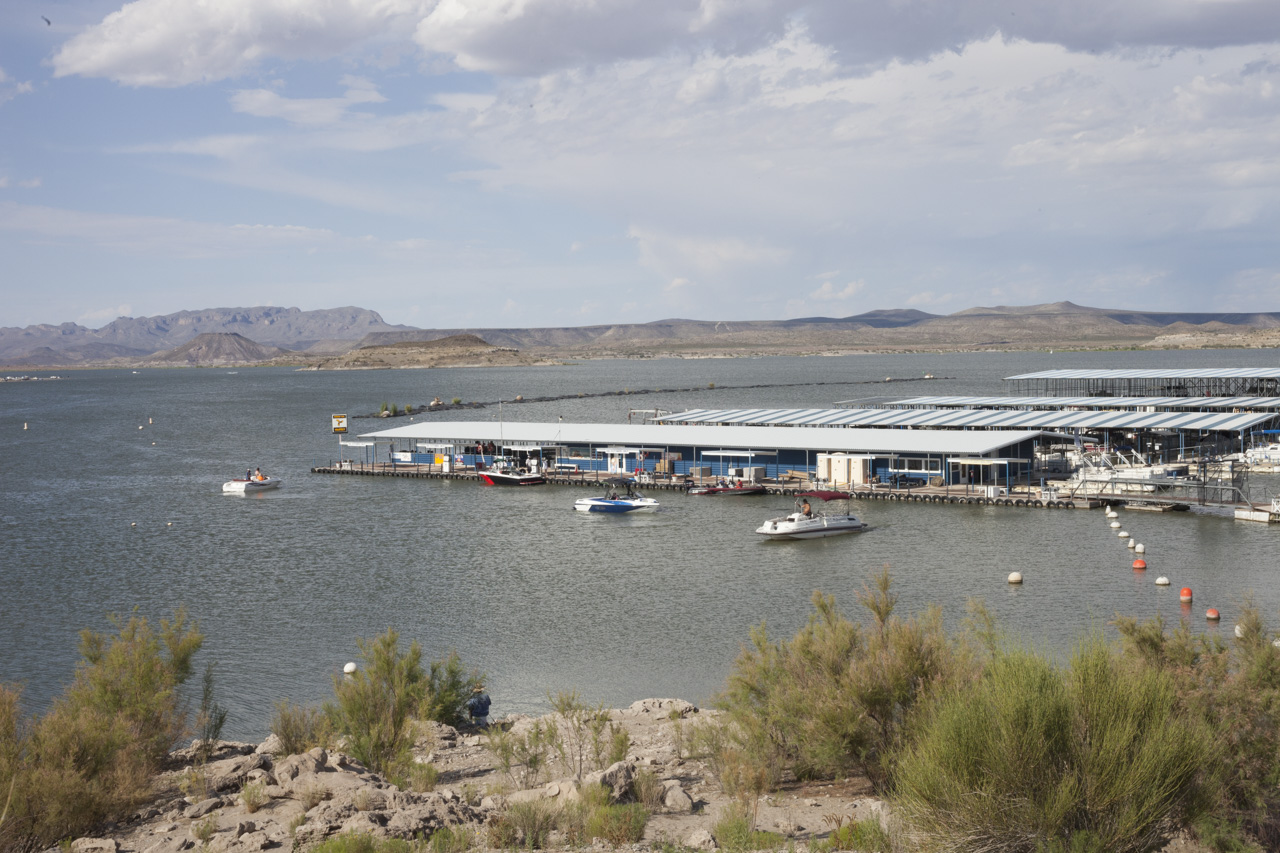
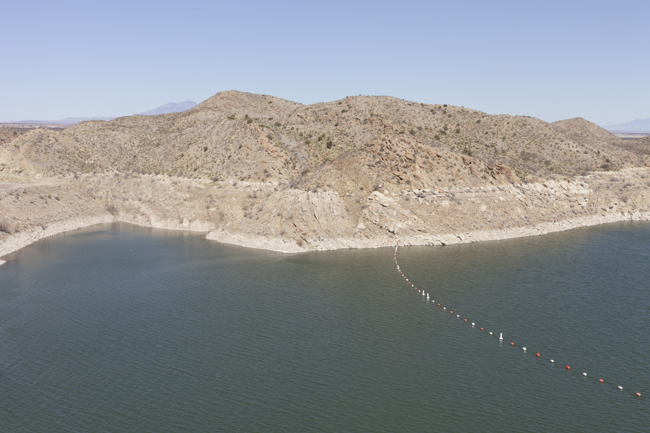
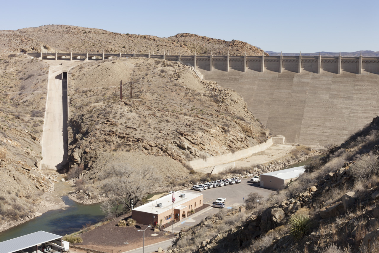
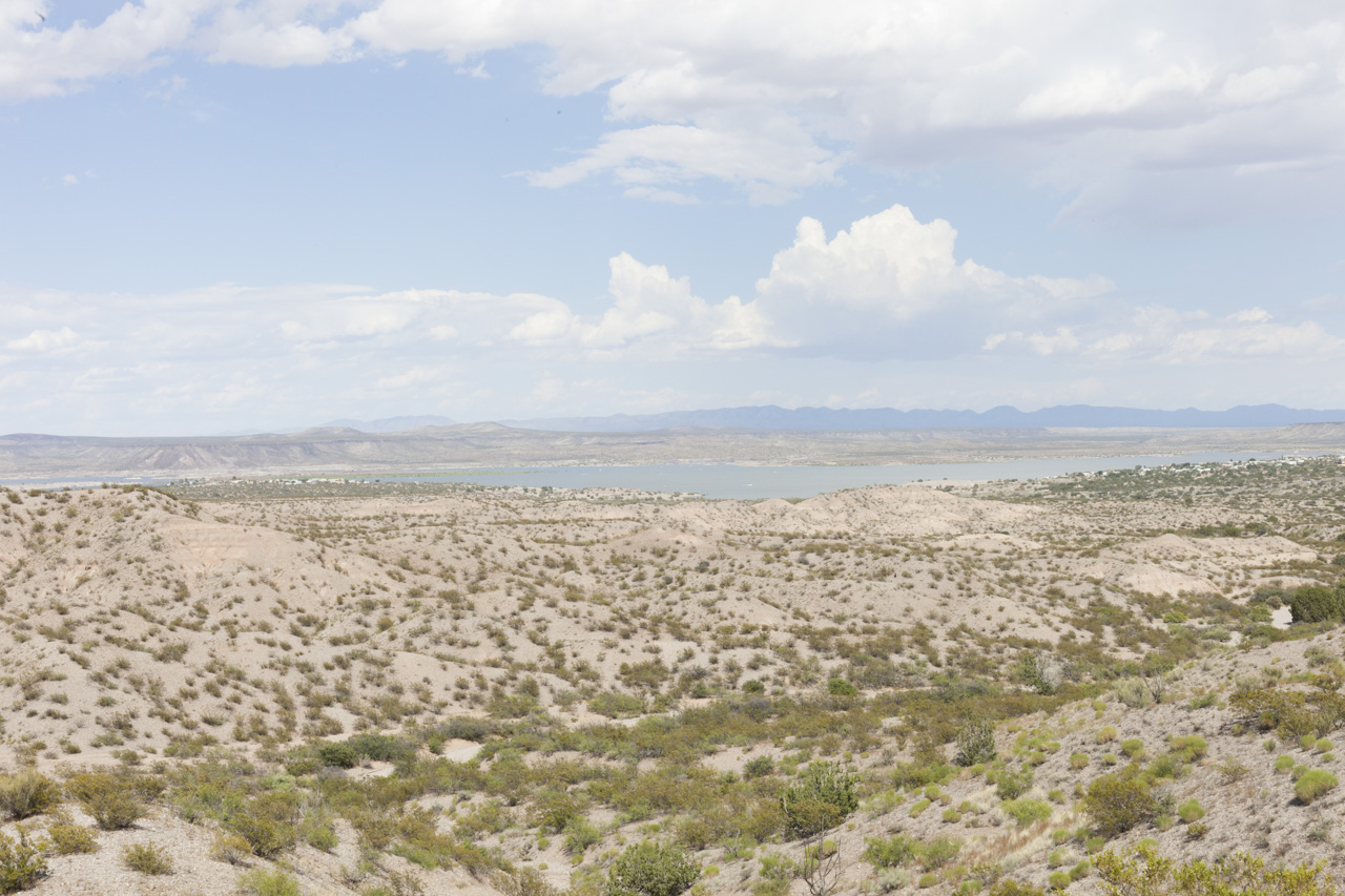
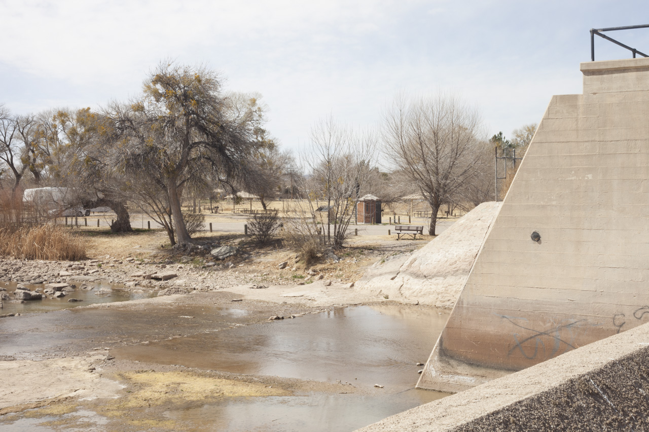
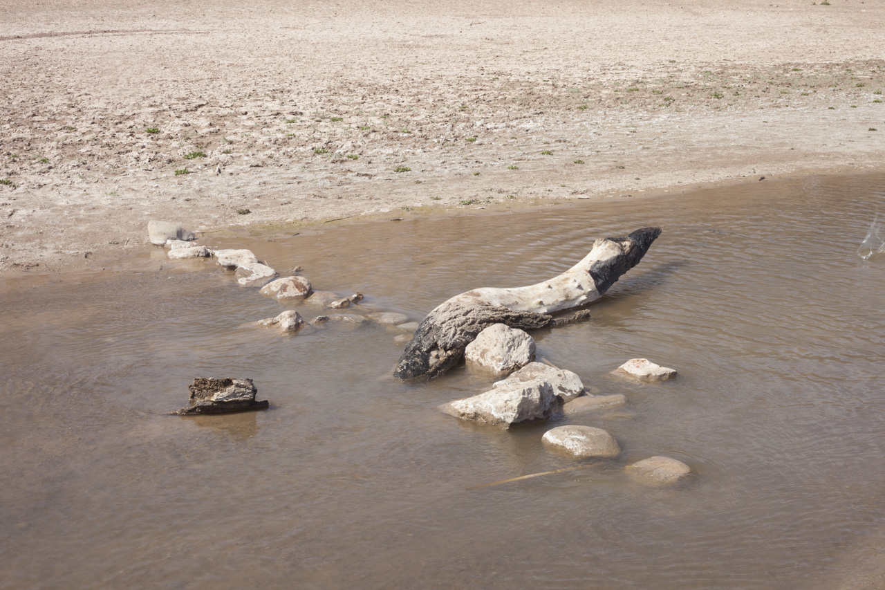
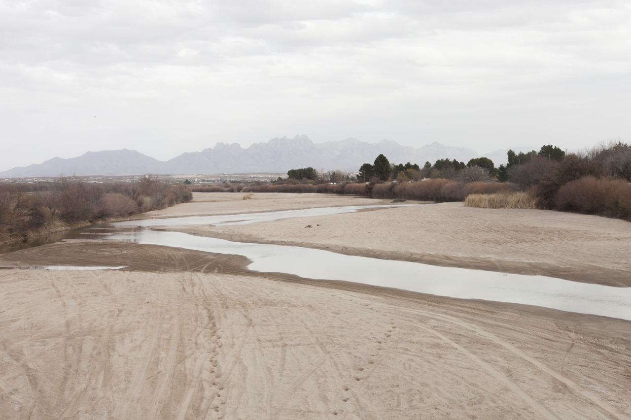
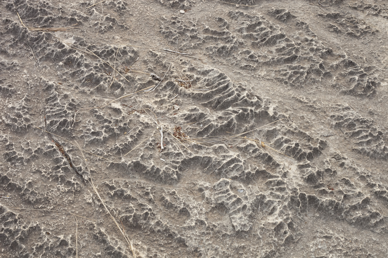
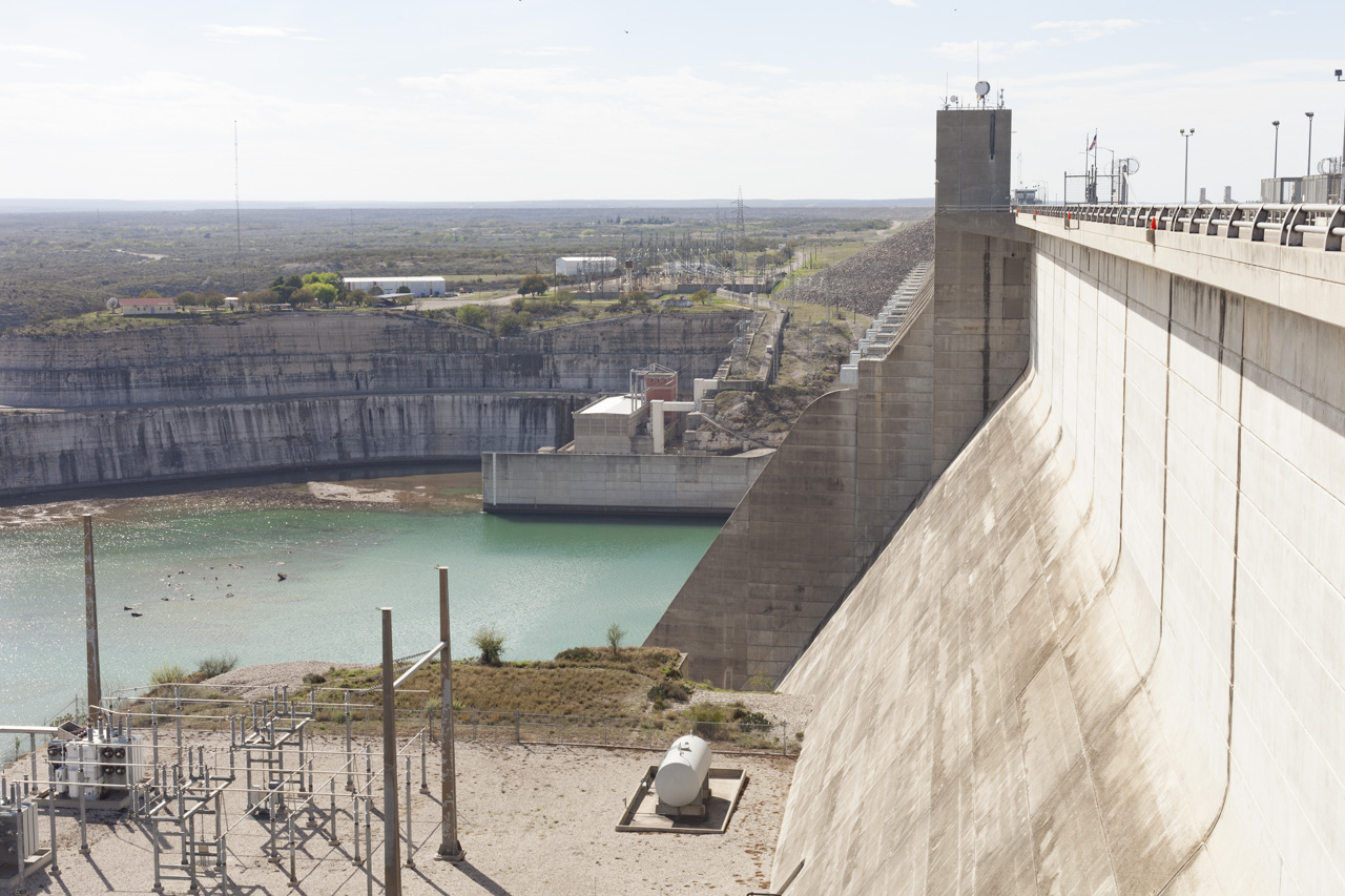
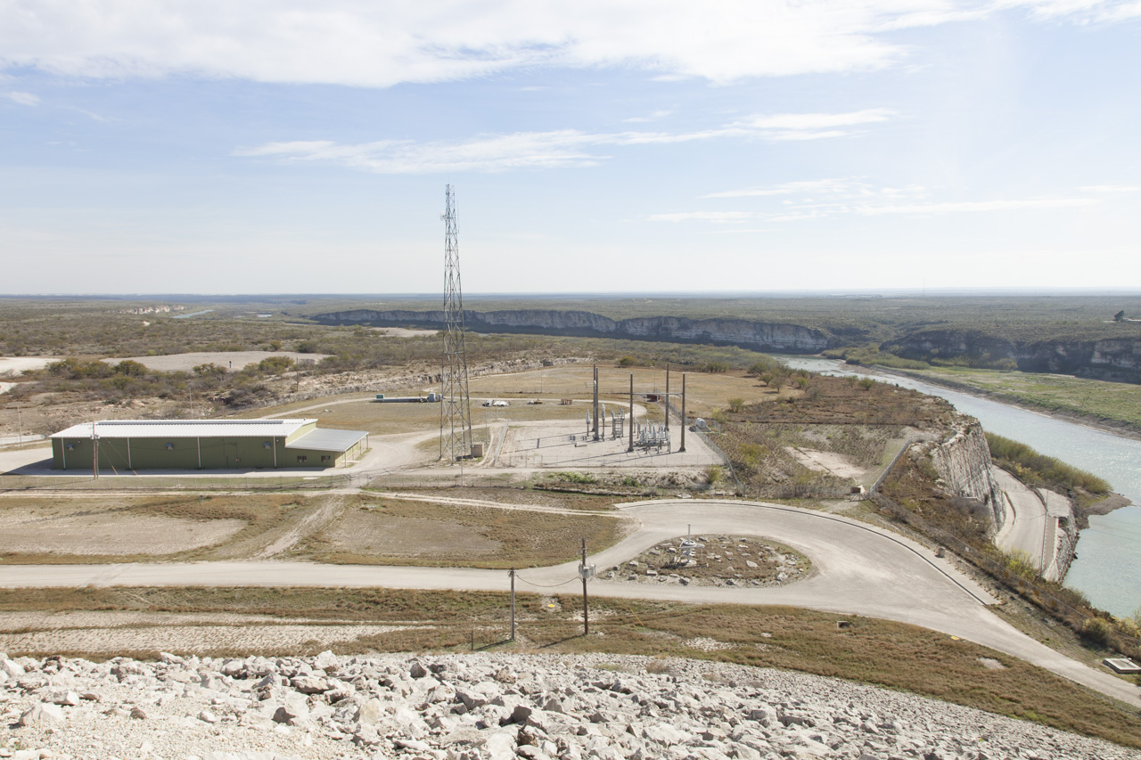
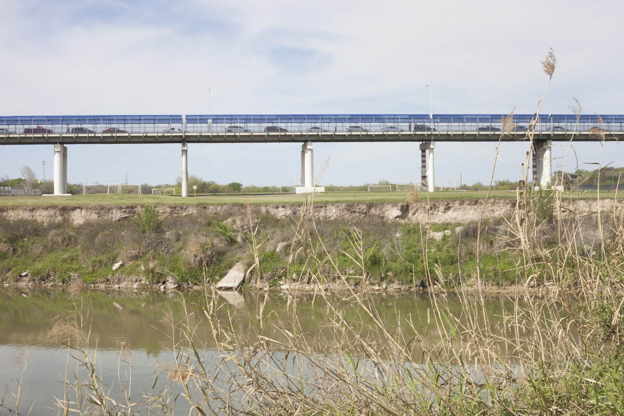
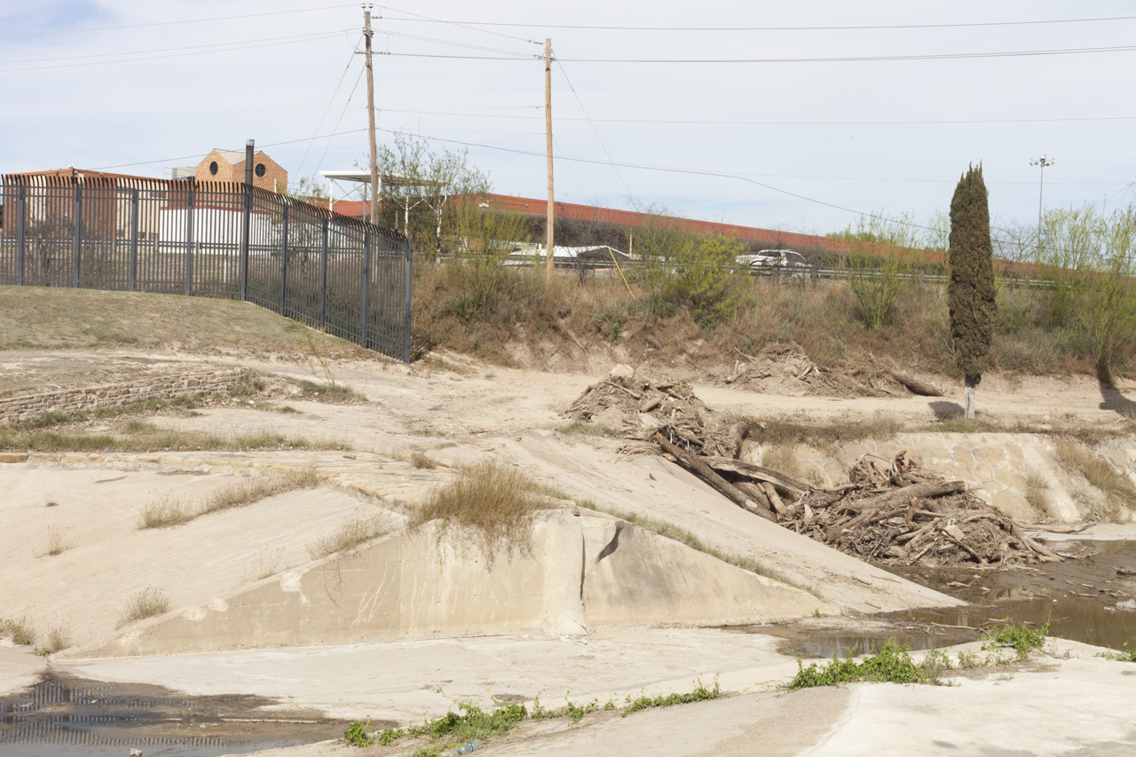
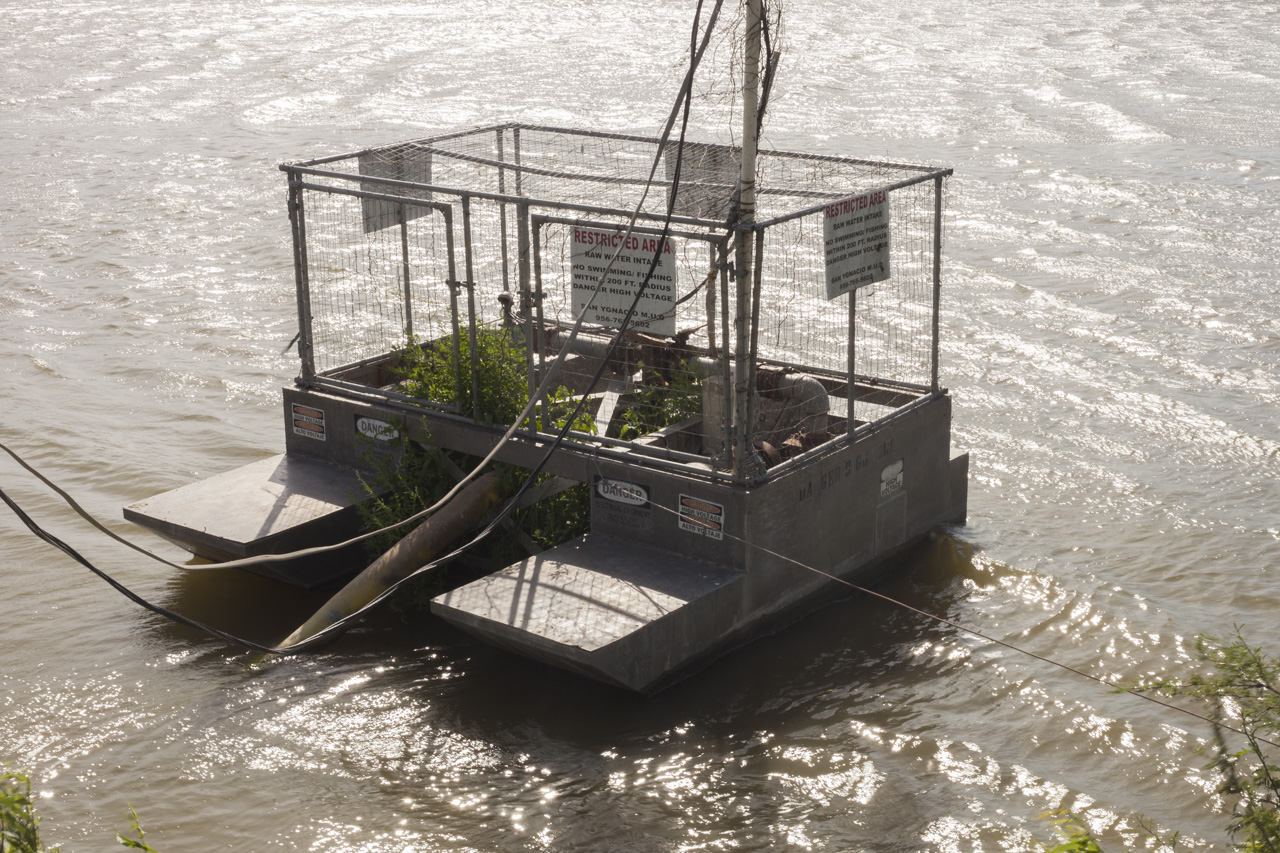
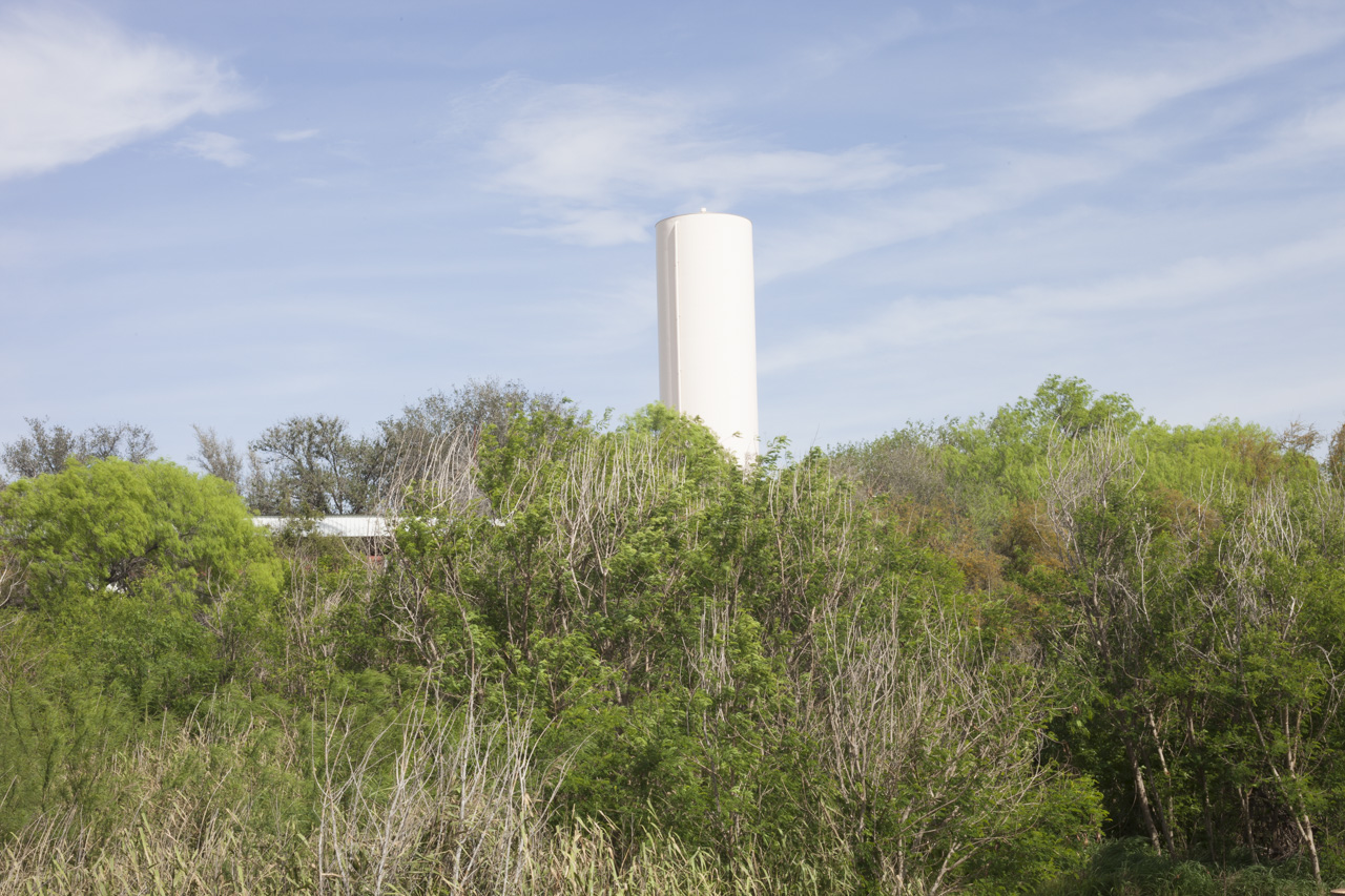
Over the last 100 years, the flow of the river has been harnessed, channeled, and controlled by human engineering. By definition, the river is no longer a river, “a large quantity of a flowing substance”, but rather, a series of canals and lakes formed by massive dams. Currently the river is fragmented by 22 dams and innumerable diversions for agriculture and municipal water supplies. In New Mexico, a majority of the river has been “channelized” or straightened, which increases the water velocity, causing the river to scour its banks and eliminating swaths of wetlands that provided habitats for birds, fish, and reptiles. The river is completely dry most of the year for 100 miles in southern New Mexico and southeastern Texas, but regains limited flow after the Rio Conchos, Pecos River, and Devil’s river join its path in Texas. Even with this extra water, the river is shallow enough to walk across in many sections. In recent years the river has not reached the Gulf due to silt deposits that block the flow and has since needed dredging, which disrupts the already fragile ecosystem. The Rio Grande, now controlled by humans, does not self-regulate as it had for millions of years.
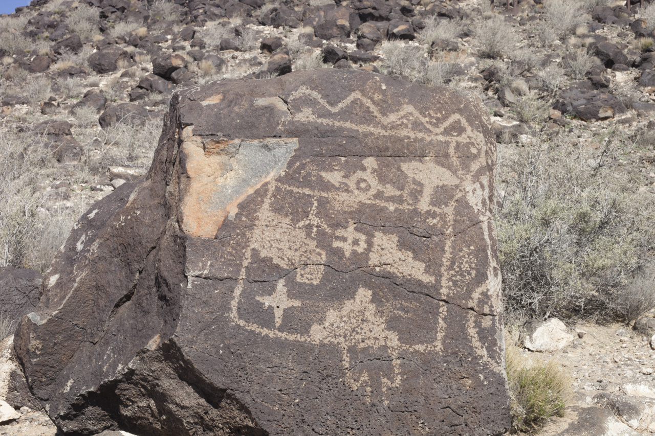
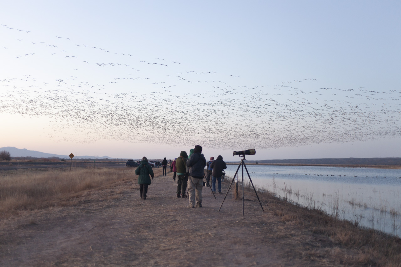
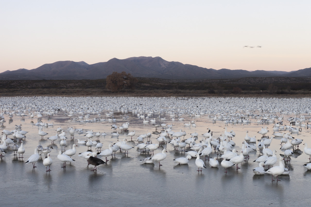
Over 100 million years ago, the Rio Grande was a series of rift valleys where continental plates that had pulled apart through volcanic activity. Water collected forming lakes in these valleys and over time the lakes connected and flowed to lower elevations to the gulf. The river would swell each year in the spring when snows in the high peaks of the San Juan Mountains of southern Colorado would melt. These floods naturally deposited rich silt into the floodplains, fertilizing the wide floodplains. Migratory birds returned to specific locations at certain times, in tune with fish and insect life-cycles. The river meandered and often changed course. Ancestral puebloans who first lived along the river 2,000 years ago anticipated floods and would plant in multiple locations, to guarantee water in at least some of their plots. In the early 1900’s these floods were catastrophic for the white settlers arriving, unaccustomed to the river. The first dam was built by 1910 to control the river and by 1970, 21 major dams had been built to prevent flooding and harness the river. In recent times, the river has come to resemble its prehistoric state, a fragmented chain of water bodies within the same continental rift.
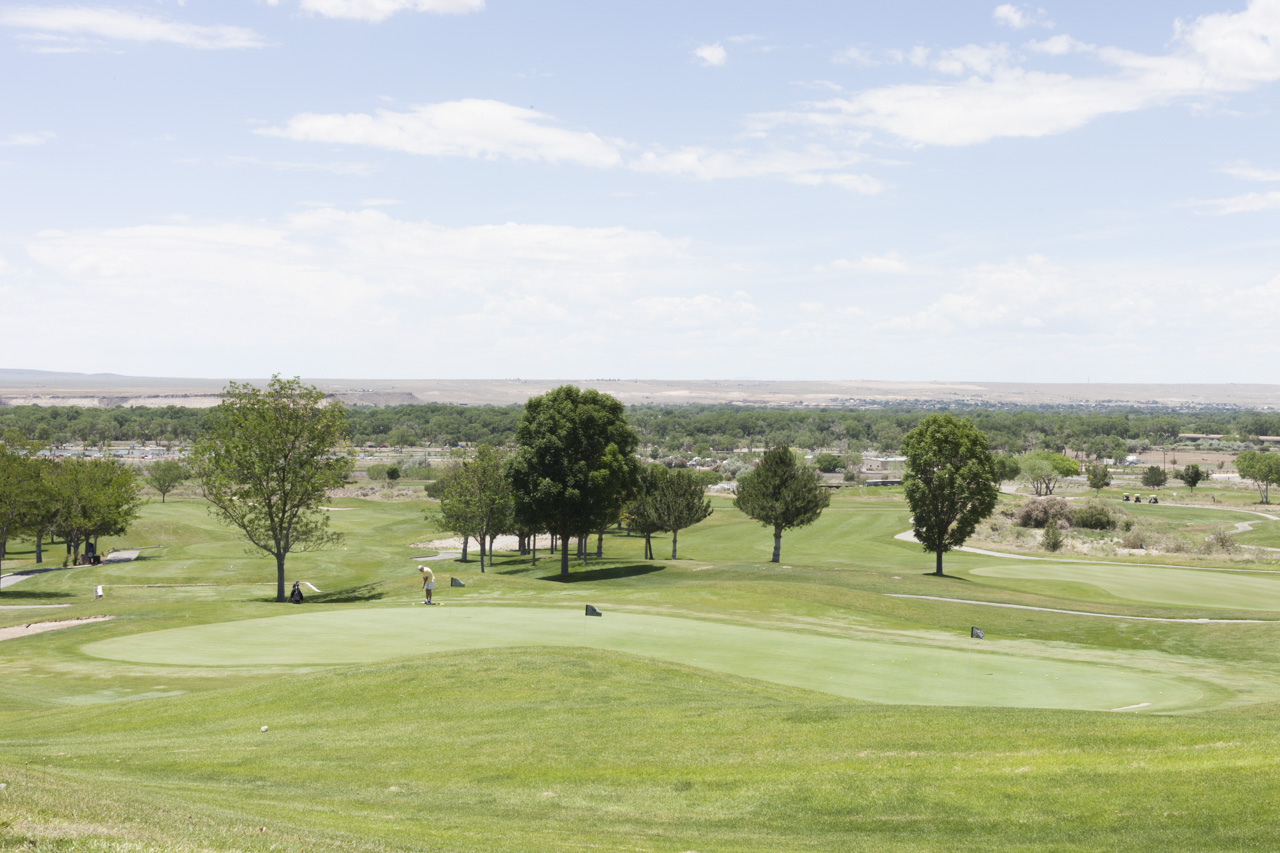
As populations in the Rio Grande Valley both in the US and Mexico continue to rise, the demands of water continues to increase. Climate change predictions show precipitation declines in the southwest overall, but an increase in erratic weather events which could cause unprecedented flooding and catastrophic drought. The river has the potential to both dry up or swell to break its current confinement.
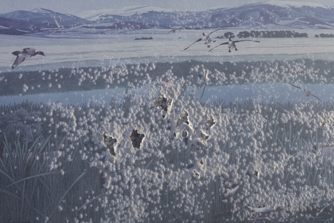
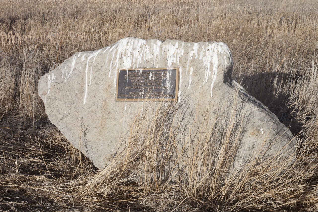
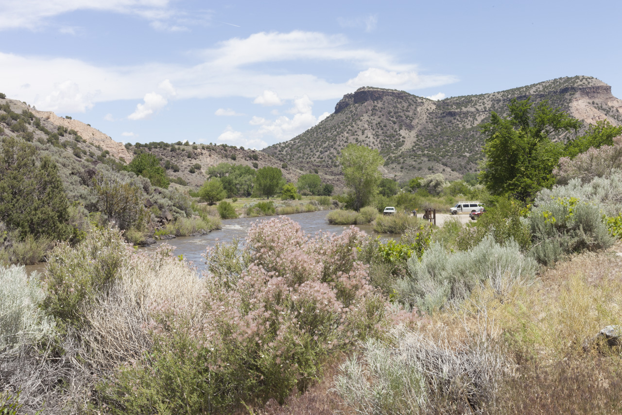
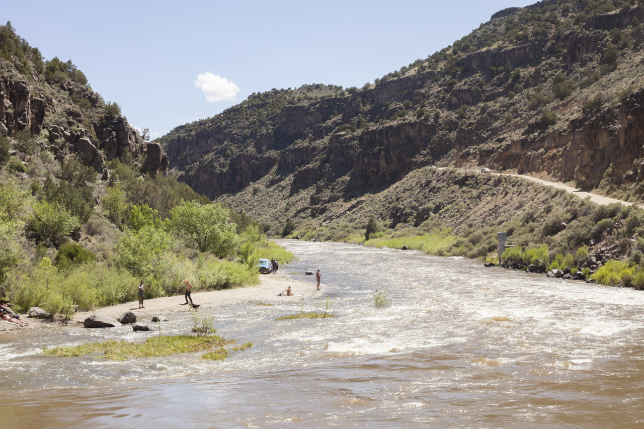
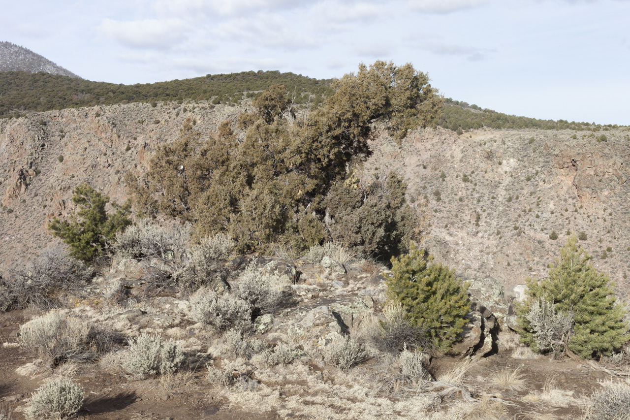
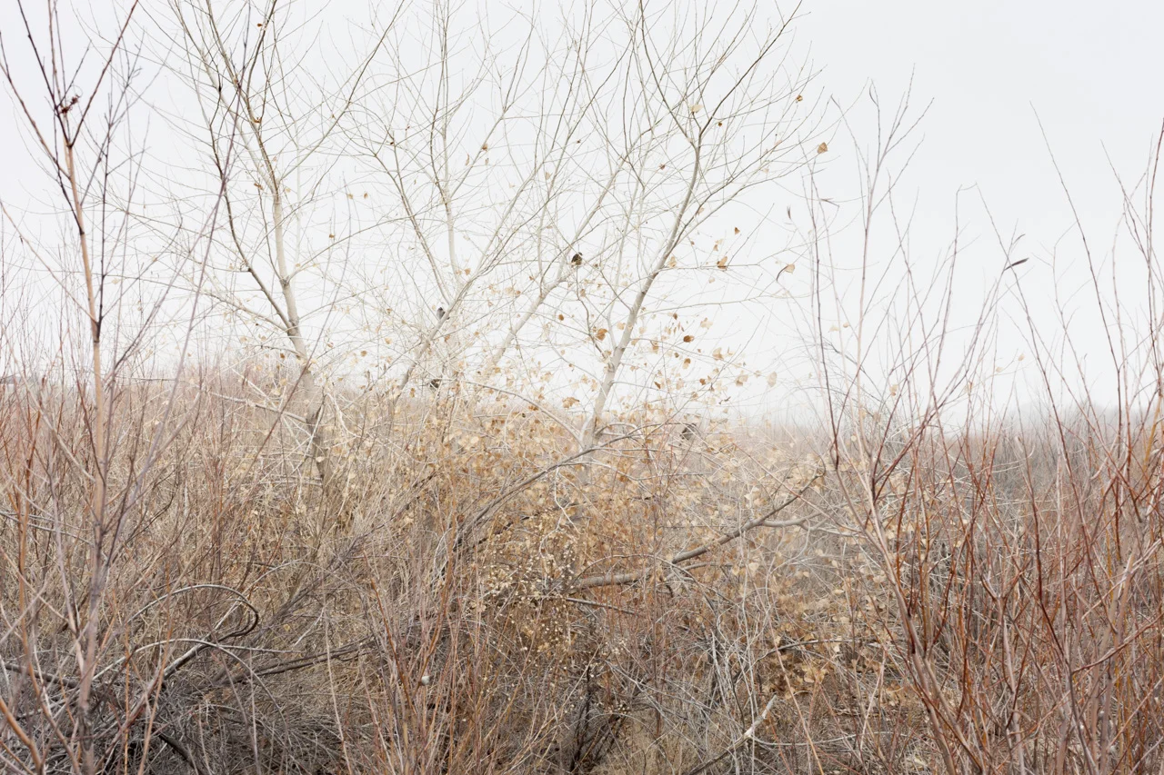
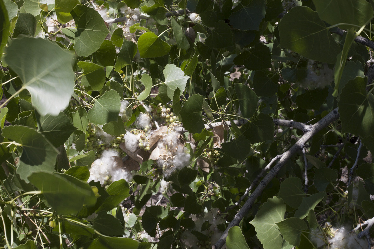
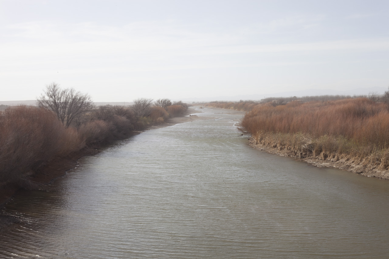
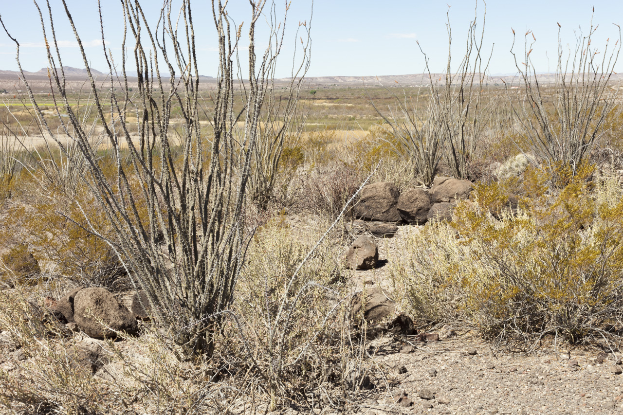
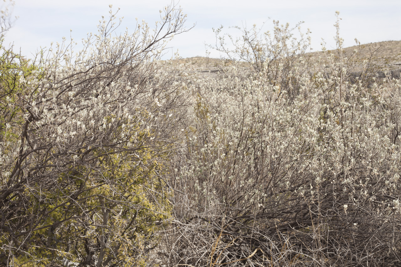
Although the river ecosystem has been disturbed by humans, the natural world is remarkably resilient. Passing through the landscape, the river is always apparent as a narrow green ribbon of lush habitat for an incredible array of plants and animals. Sites along the Rio Grande have been set aside as national and state monuments for recreation and wildlife sanctuaries. The river is revered for its beauty and its ecological importance, despite the vast human imposed-infrastructure that attempts to govern it.
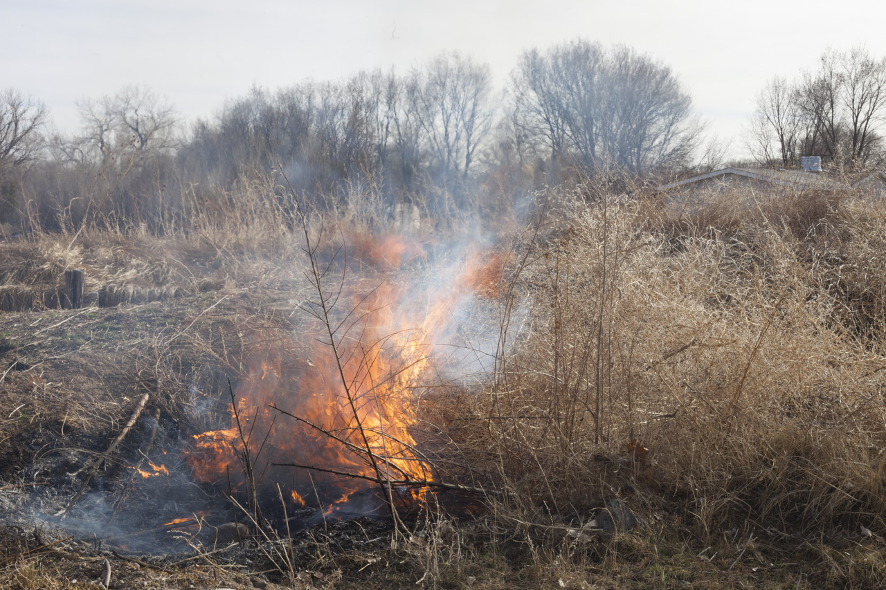
I took these photographs over the course of two years from 2017-2019 in various seasons while working on a film, traveling from the headwaters to the mouth of the river. These photographs reflect that experience and act as a document of a precarious landscape in a precarious time.